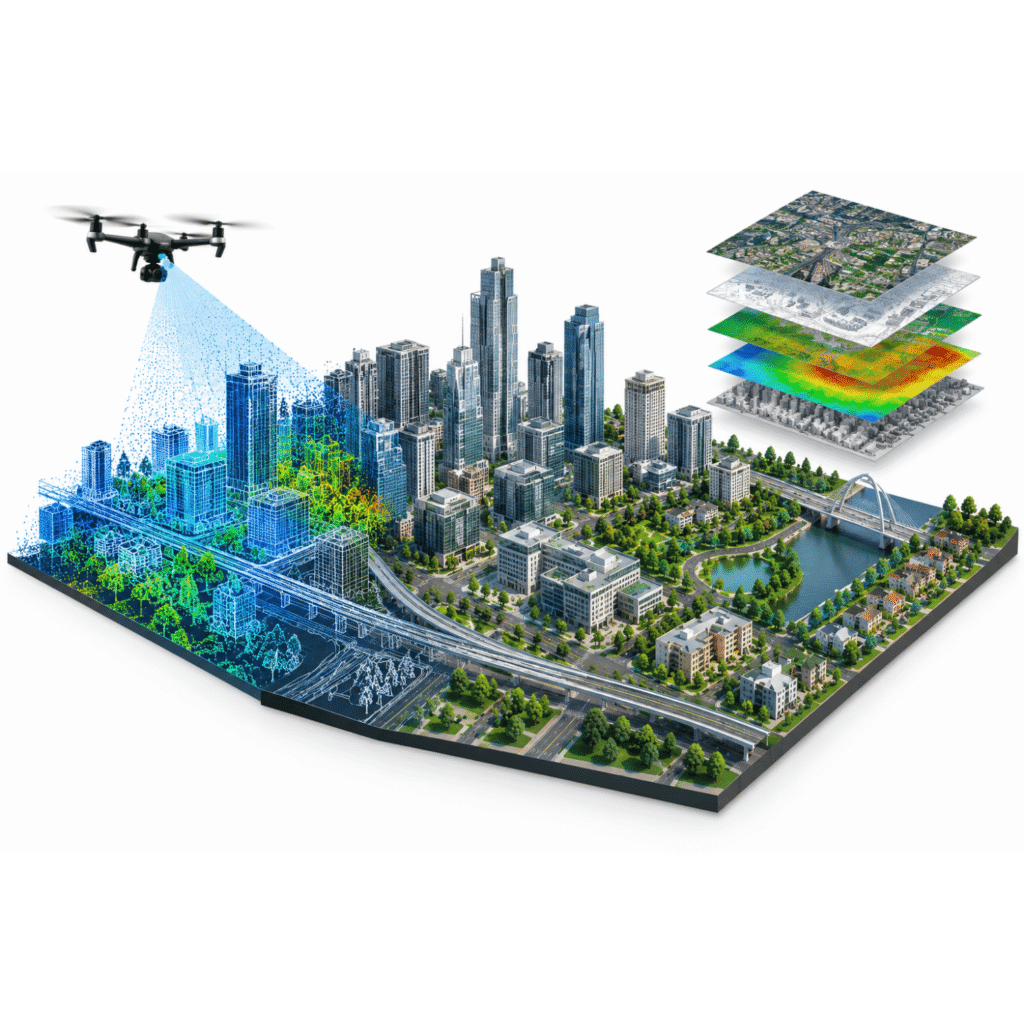
Geospatial Data. Engineering Precision.

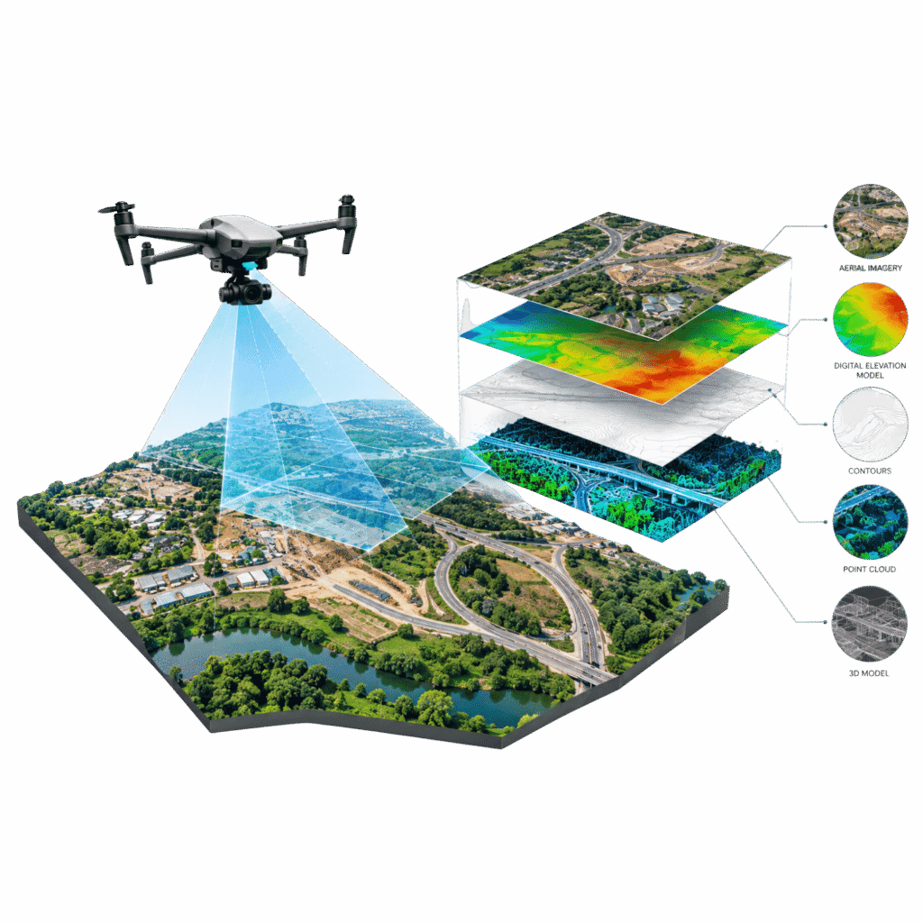
From LiDAR and photogrammetry to GIS, 3D mapping, laser scanning, Scan-to-CAD and Scan-to-BIM, we transform survey and reality-capture data into accurate, production-ready digital information.

[ WHO WE ARE ]

Precision Geospatial Solutions. Reliable Digital Data.

GEODRAFT is a geospatial services and digital engineering company delivering production-focused solutions across GIS, LiDAR, photogrammetry, remote sensing, orthophoto processing, 3D laser scanning, 3D city modelling, Scan-to-CAD and Scan-to-BIM. We transform complex spatial and reality-capture data into accurate, useful and production-ready digital information.

2000

Year Established

GEODRAFT combines technical expertise, structured workflows and quality-focused project delivery.

4

+

Geospatial & Digital Services

LiDAR, Photogrammetry, GIS, 3D Mapping, Laser Scanning, Scan-to-CAD, Scan-to-BIM and more.  

5

+

Industries Served

Water & Wastewater, Utilities, Infrastructure & Transport, AEC, Mining & Natural Resources, Oil & Gas, and Urban Development & Smart Cities.

[ What We Do ]

Advanced Geospatial Solutions

[01]

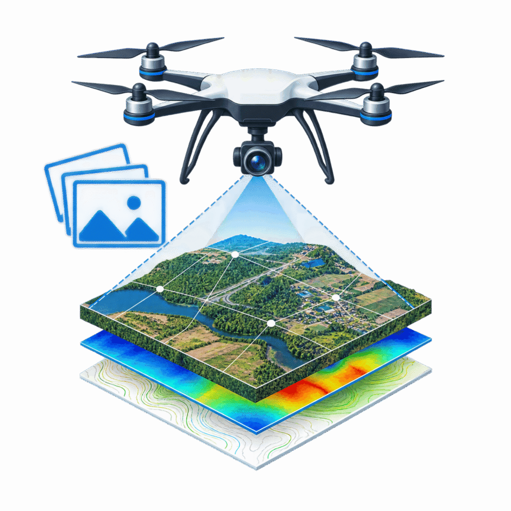
Photogrammetry

Digital photogrammetry services for converting aerial imagery into accurate mapping and terrain products.

[02]

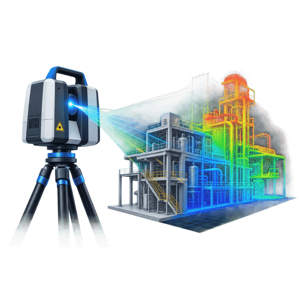
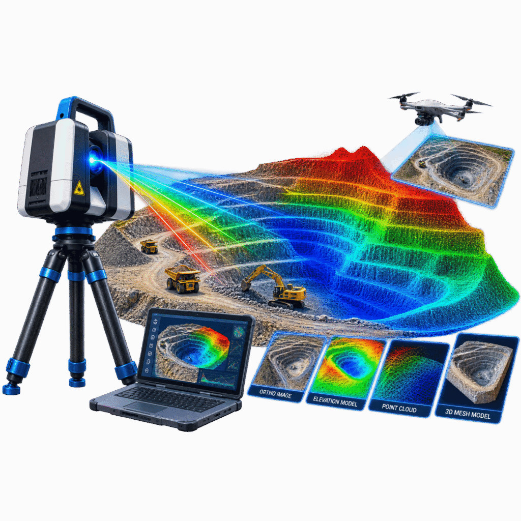
LiDAR

Processing airborne, mobile and terrestrial LiDAR datasets into accurate, classified and production-ready geospatial information.

[03]

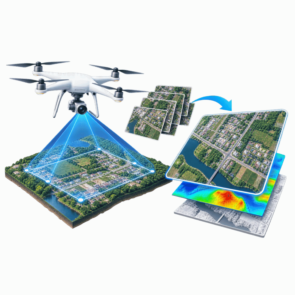
Ortho Image Processing

Geometrically corrected orthophotos and seamless mosaics for mapping, visual interpretation and integration with other geospatial products.

[04]

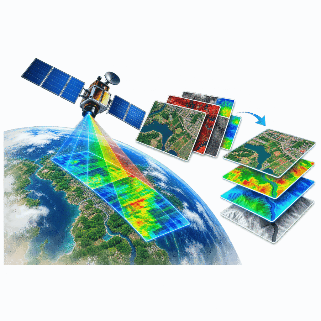
Remote Sensing

Processing satellite and aerial imagery to extract useful information for natural resources, infrastructure and environmental applications.

[05]

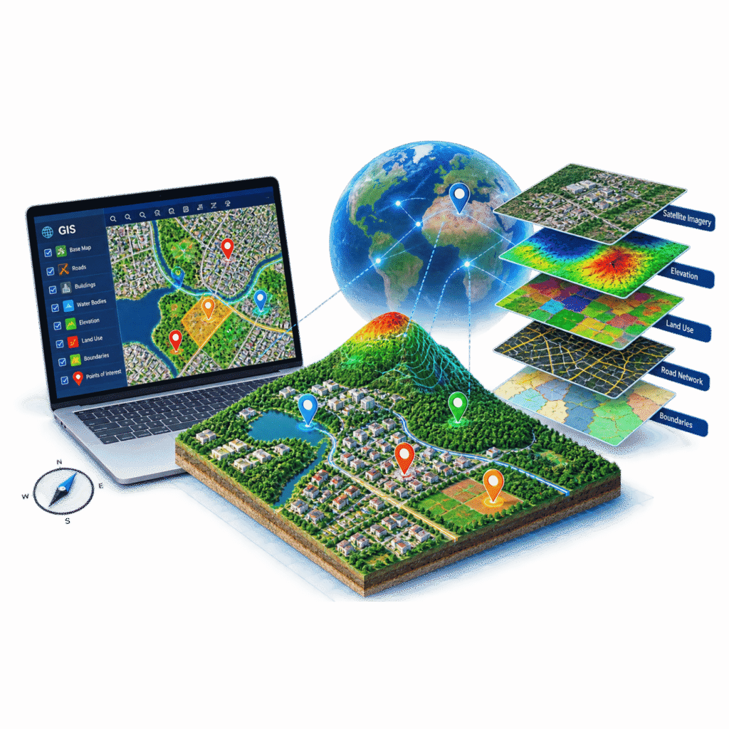
GIS

Creating, converting and managing spatial and non-spatial datasets from CAD, survey data, imagery and existing GIS sources.

[06]

3D Laser Scanning

Capturing detailed 3D point cloud data for measurement, documentation, as-built requirements and digital modelling.

[07]

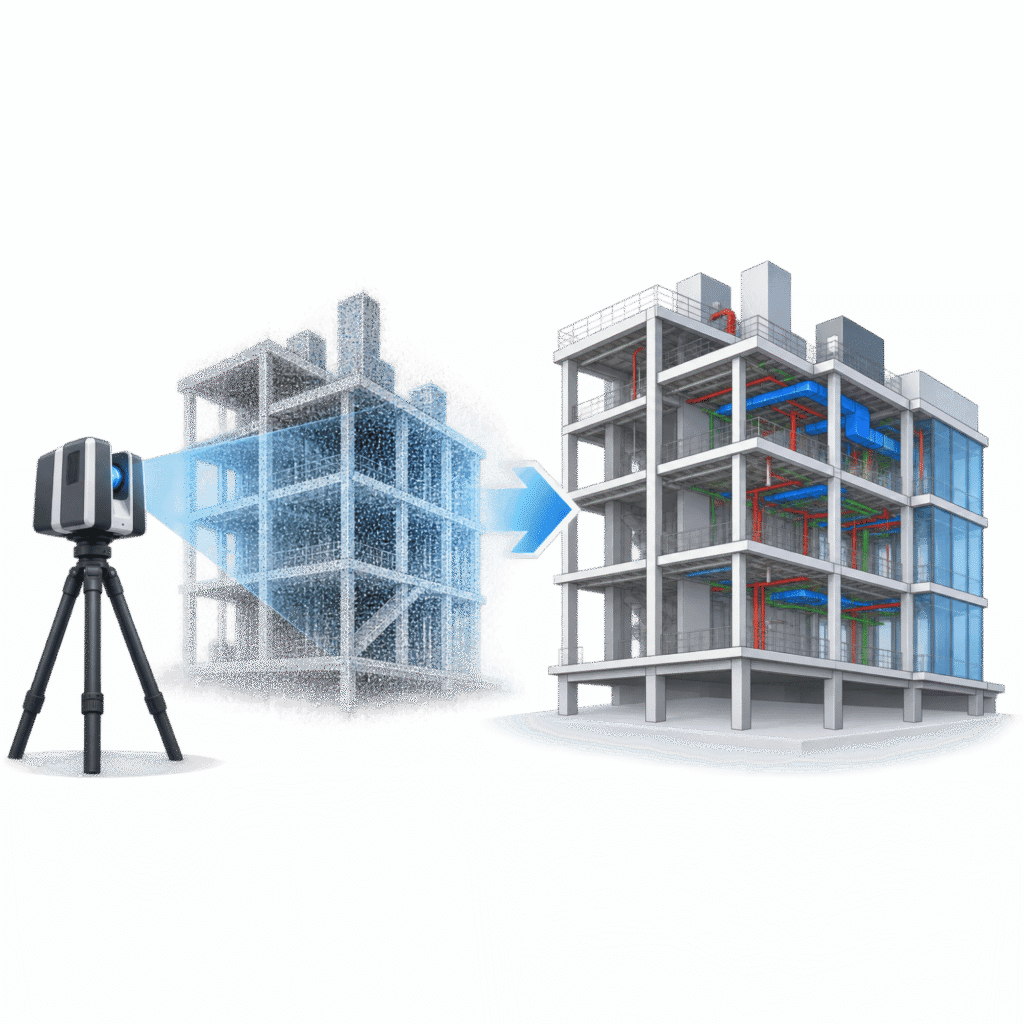
Scan-to-BIM

Transforming point clouds and laser scan data into accurate BIM and Revit models for buildings, infrastructure and industrial facilities.

[08]

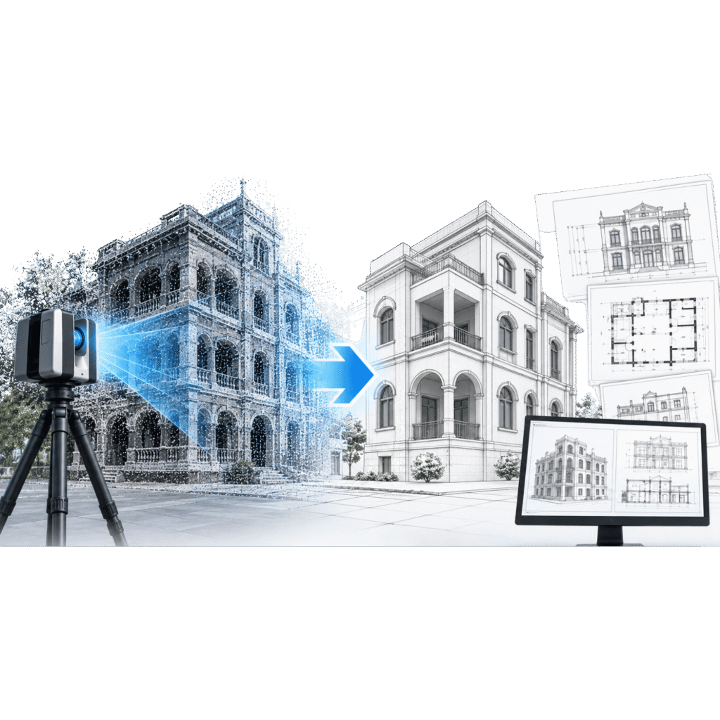
Scan-to-CAD

Converting point cloud and survey data into accurate 2D and 3D CAD drawings for design, documentation and as-built requirements.

[09]

3D City Modelling

Creating detailed 3D urban environments from geospatial, aerial and LiDAR datasets for planning, visualization and digital-city applications.

[10]

UAV / Drone Data Processing

Processing aerial drone datasets to generate mapping, imagery and 3D products for surveying and geospatial applications.

[ Why Choose Us ]

Precision. Technology. Geospatial Expertise.

Advanced Geospatial Technology

Using GIS, LiDAR, Photogrammetry, Remote Sensing and 3D Laser Scanning to deliver precise spatial solutions.

Accurate Data & Mapping

Transforming complex spatial data into reliable maps, models and actionable information.

SERVING MULTIPLE INDUSTRIES

Mining • Forestry • Transport • Utilities • Oil & Gas • Water

Industry-Focused Solutions

Geospatial solutions designed for mining, forestry, transport, utilities, oil & gas and water sectors.

Quality & Timely Delivery

Committed to high-quality deliverables, timely execution and solutions aligned with client requirements.

Trusted by Leading Industrial Companies Worldwide

[ Industries We Serve ]

Geospatial Expertise Across Industries

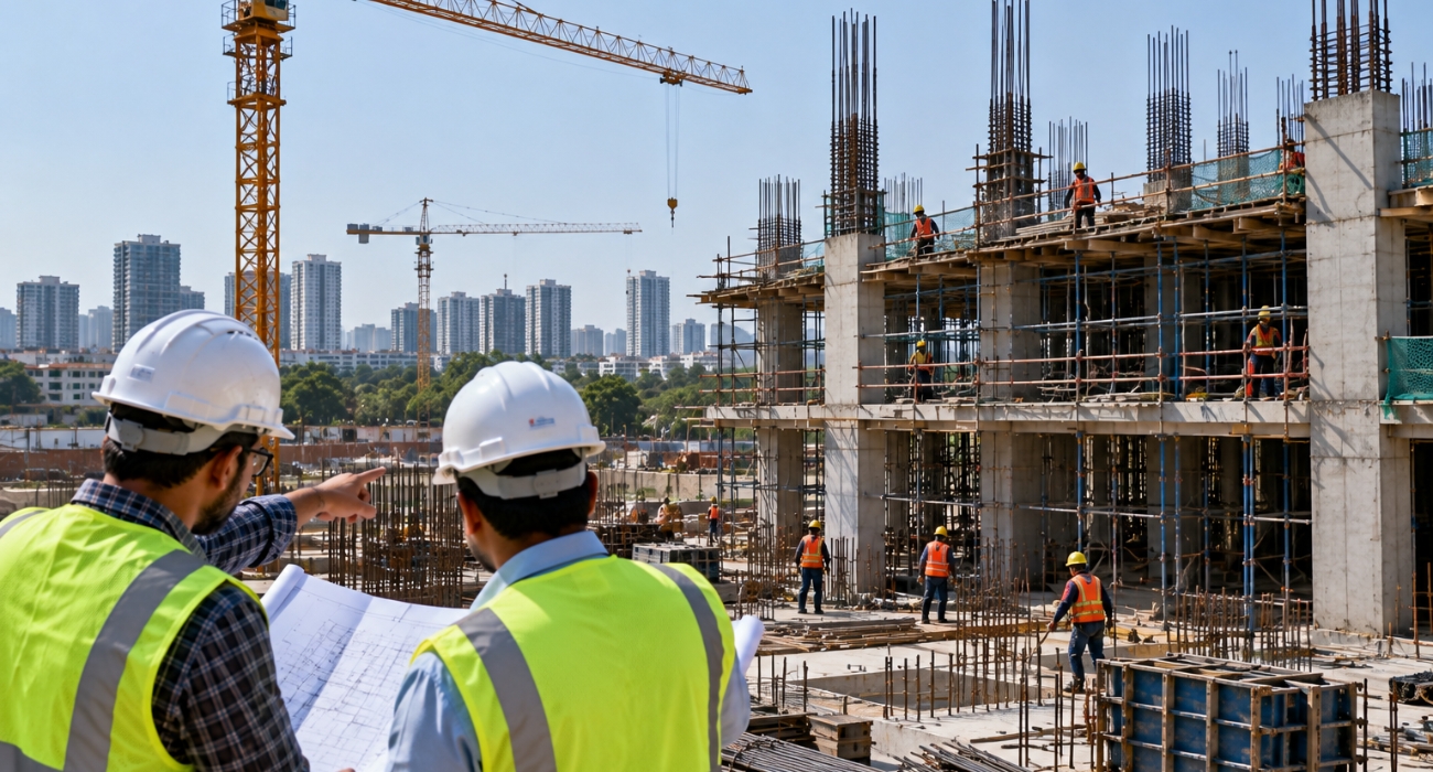
AEC & Construction

From Reality Capture to BIM
Transform buildings and construction environments into accurate, intelligent digital models.

Key areas: Scan-to-BIM · Scan-to-CAD · Revit · As-Built Documentation · Structural & MEP Modelling · Topographic Mapping

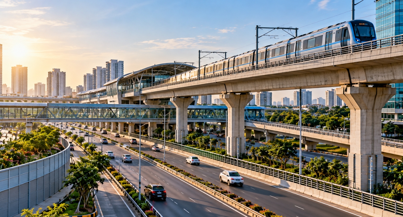
Infrastructure & Transportation

Mapping the Assets That Connect Communities

Delivering accurate geospatial data and digital engineering solutions for roads, rail, bridges, airports and transportation corridors.

Key areas: LiDAR Mapping · Corridor Mapping · Topographic Surveys · DTM/DSM · Asset Mapping · 3D Infrastructure · Digital Twins

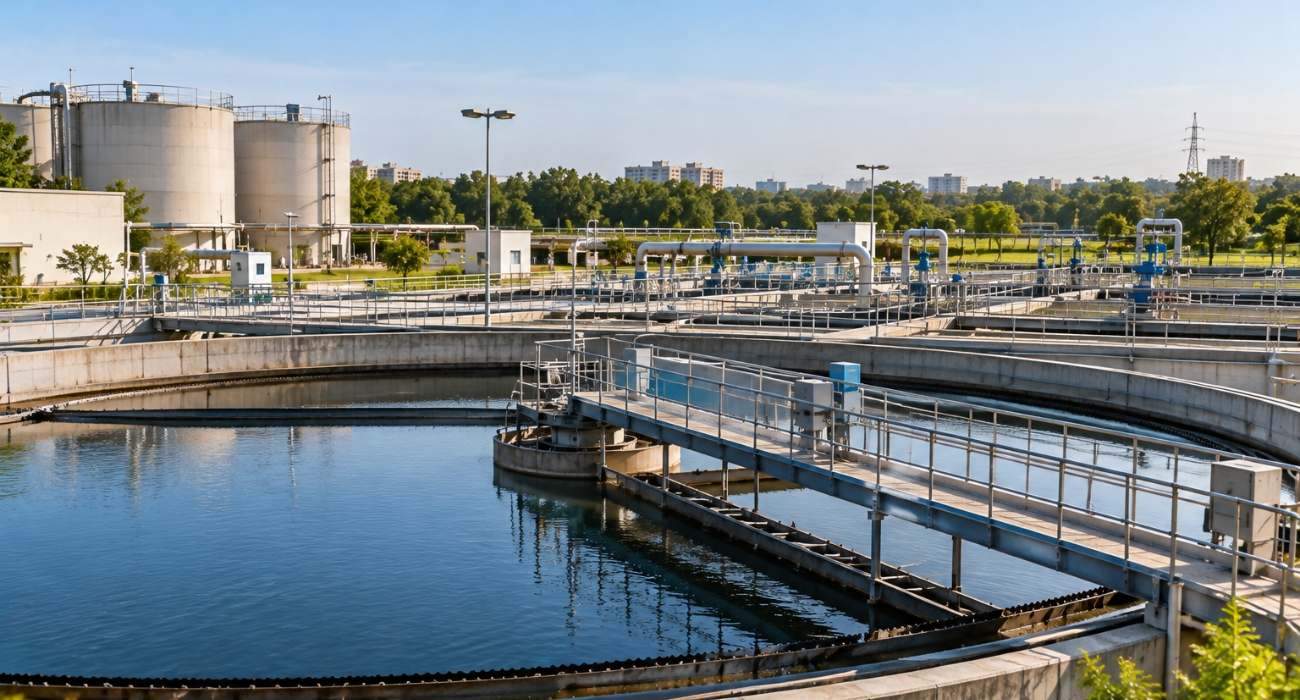
Water & Environment

Understanding Critical Natural & Built Assets

Helping water authorities and environmental organizations turn complex spatial data into actionable digital information.

Key areas: Water & Wastewater · Treatment Plants · Utility Mapping · Flood Mapping · Terrain Modelling · Environmental Mapping · Asset Management

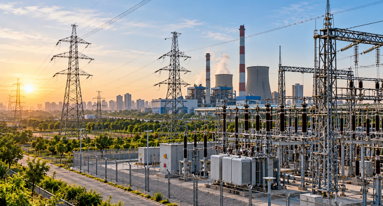
Energy & Utilities

Digital Intelligence for Critical Infrastructure

Supporting energy and utility providers with accurate mapping, asset intelligence and digital engineering.

Key areas: Powerlines · Substations · Transmission & Distribution · Renewable Energy · Utility Mapping · LiDAR Classification · Asset Inventory

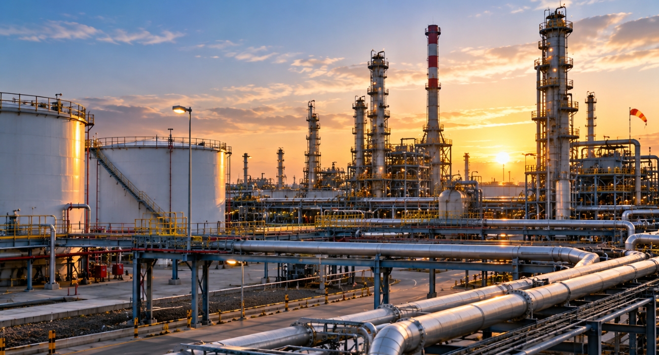
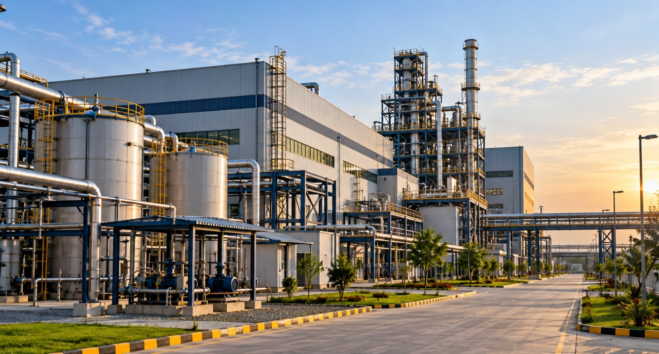
Oil & Gas

Engineering Intelligence for Complex Facilities

Creating accurate digital representations of plants, pipelines and industrial assets to support engineering and asset management.

Key areas: Plant Modelling · Scan-to-CAD · Scan-to-BIM · Piping · Equipment Modelling · Pipeline Mapping · Brownfield Engineering

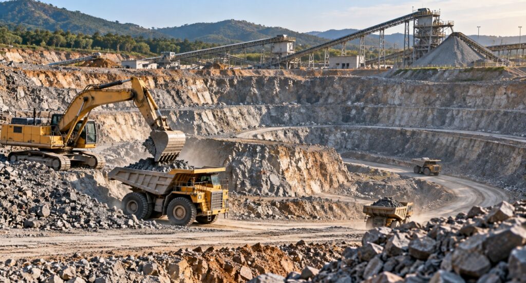
Mining & Natural Resources

Geospatial Intelligence from Terrain to Resources

Turning LiDAR, imagery and survey data into precise information for mining, quarrying, forestry and natural-resource management.

Key areas: Mine Mapping · Quarry Mapping · Stockpile Volumes · LiDAR · Drone Mapping · DTM/DSM · Forestry · Land-Cover Mapping

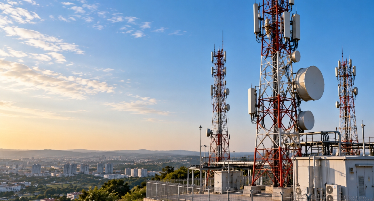
Telecommunications

Mapping the Networks That Connect the World

Building accurate spatial databases and digital asset information for modern telecommunications infrastructure.

Key areas: Fibre Networks · FTTH · OSP Mapping · Telecom Towers · Pole Mapping · Network Inventory · GIS · Right-of-Way Mapping

Industrial & Manufacturing

Reality Capture for Complex Facilities

Helping industrial organizations convert existing facilities into accurate digital engineering environments.

Key areas: Industrial Scan-to-BIM · Plant Modelling · Scan-to-CAD · Equipment · Piping · Structural Modelling · MEP · Digital Twins

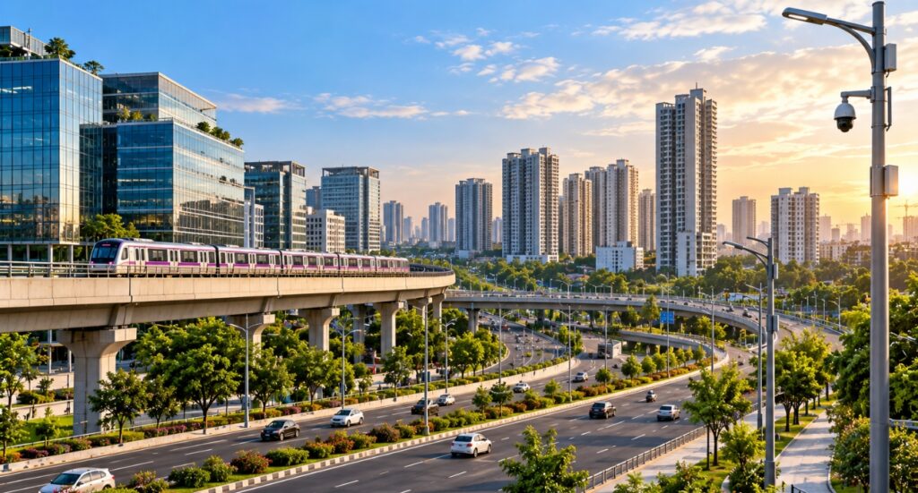
Smart Cities & Urban Development

Smart Cities & Urban Development

Creating the geospatial foundation required to understand, manage and digitally represent modern cities.

Key areas: 3D City Modelling · Urban GIS · City-Scale LiDAR · Building Mapping · Infrastructure Mapping · Utility Mapping · Digital Twins

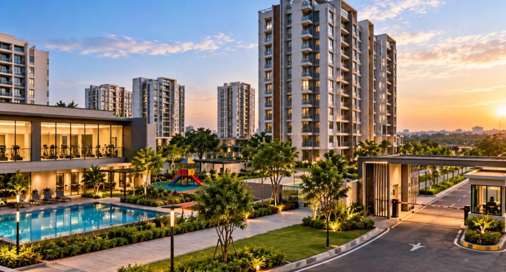
Real Estate & Facilities

Turning Physical Spaces into Digital Assets

Helping property owners, developers and facility managers understand their buildings and assets through accurate digital information.

Key areas: Building Documentation · Scan-to-BIM · Revit · Floor Plans · MEP Documentation · Asset Inventory · Facility Mapping · Digital Twins

[ Testimonials ]

Trusted by Clients Across Projects

GEODRAFT delivered accurate and well-structured geospatial data that supported our project requirements. The team was responsive, professional and committed to quality

Vinay Client

The team understood our technical requirements and delivered the required outputs with good attention to detail and quality.

Sharath Client

GEODRAFT provided reliable technical support and maintained clear communication throughout the project. We were satisfied with the quality and delivery.

Swapna Menon Client

GEODRAFT provided a reliable and professional approach throughout the project. Their technical expertise, attention to detail and commitment to quality helped us achieve the required geospatial deliverables efficiently.

Daniel Carter Client

[ Faq ]

Frequently Asked Questions

Find answers to common questions about our geospatial services, industries we serve, project workflows and data requirements.

GEODRAFT provides a range of geospatial and digital engineering services, including LiDAR processing, photogrammetry, GIS & geospatial data services, orthophoto processing, remote sensing, 3D laser scanning, Scan-to-CAD, Scan-to-BIM, 3D city modelling and UAV/drone data processing.

We support projects across Water & Wastewater, Utilities, Infrastructure & Transport, Architecture, Engineering & Construction (AEC), Mining & Natural Resources, Oil & Gas, and Urban Development & Smart Cities.

Yes. GEODRAFT can work with project-specific requirements, datasets, specifications and deliverables. Our team reviews the project scope, defines the appropriate workflow and carries out quality checks before delivery.

We work with various geospatial and reality-capture datasets, including LiDAR point clouds, aerial imagery, survey data, CAD drawings, scanned drawings, GIS data, satellite imagery and drone datasets.

Yes. GEODRAFT provides mapping and geospatial production services using LiDAR, photogrammetry, GIS, orthophotos, UAV/drone data and 3D laser scanning to create accurate mapping and digital information for different project requirements.

You can submit your project requirements through our Request a Quote form. Share details such as the required service, project location, input data, expected deliverables, estimated area or quantity, timeline and any additional requirements. Our team will review the scope and suggest an appropriate production approach.

[ Blog ]

Latest Geospatial Industry Insights

Hello world!

Welcome to WordPress. This is your first post. Edit or delete it, then start writing!

[ Get Started ]

Have a Geospatial Project in Mind?

Share your project requirements and data with our team. We’ll review your scope and suggest the right geospatial production approach for your project.solutions for complex projects across industries.