
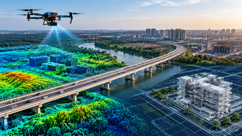
How Geospatial Technology Is Transforming Modern Infrastructure and Construction
What Is Geospatial Technology? Modern infrastructure and construction projects require accurate data, detailed planning, and reliable measurements. Geospatial technology helps professionals understand real-world environments by converting physical spaces into useful digital information. From land surveys and road development to building documentation and smart city planning, technologies such as LiDAR scanning, photogrammetry, Geographic Information Systems (GIS), […]