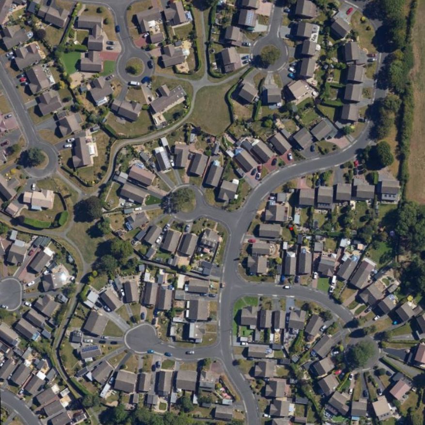
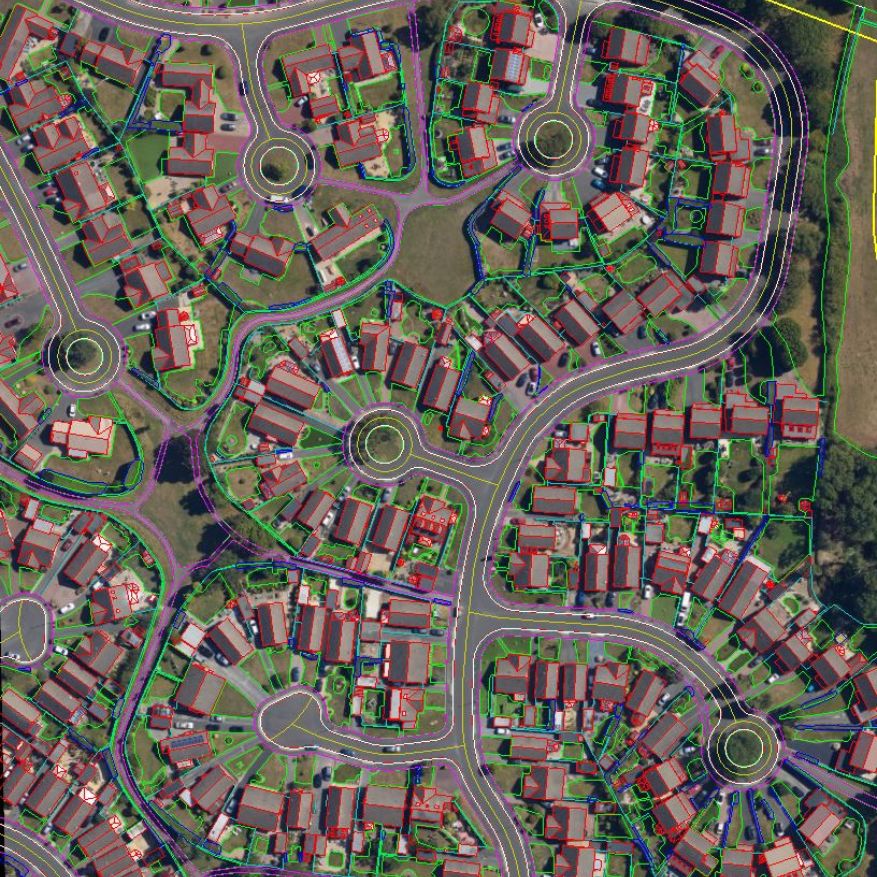
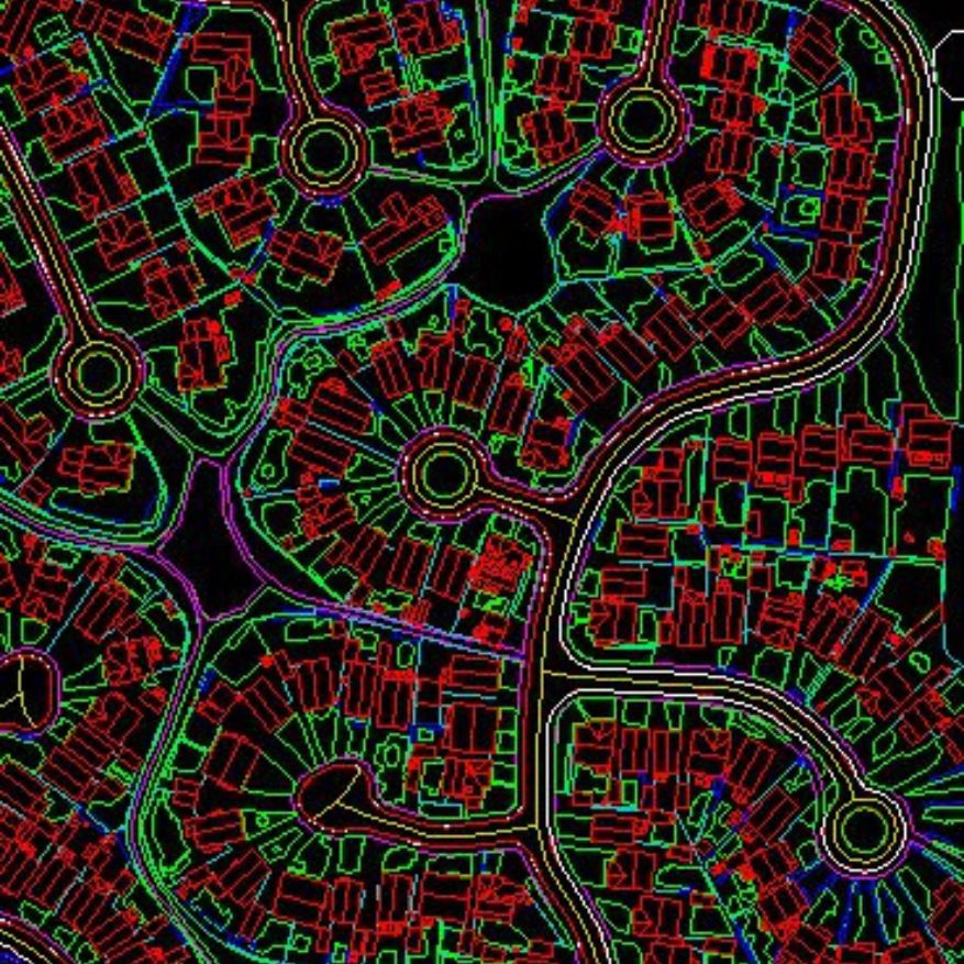
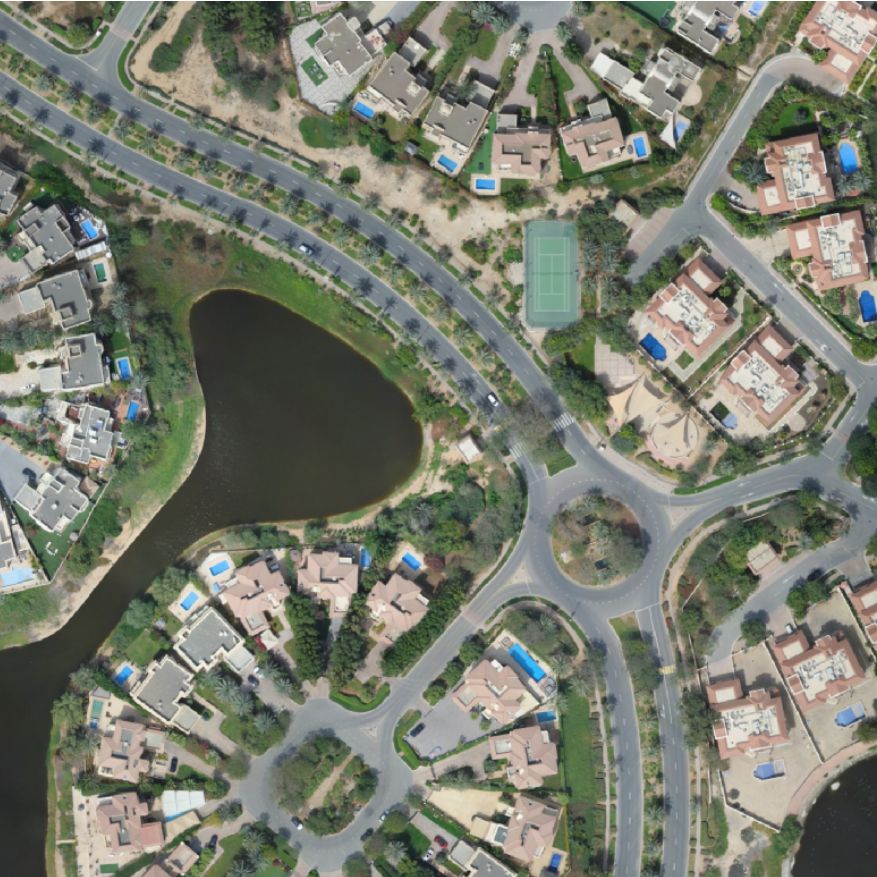
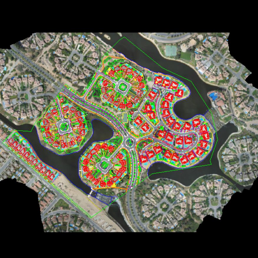
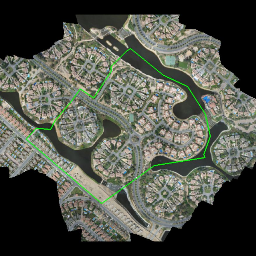
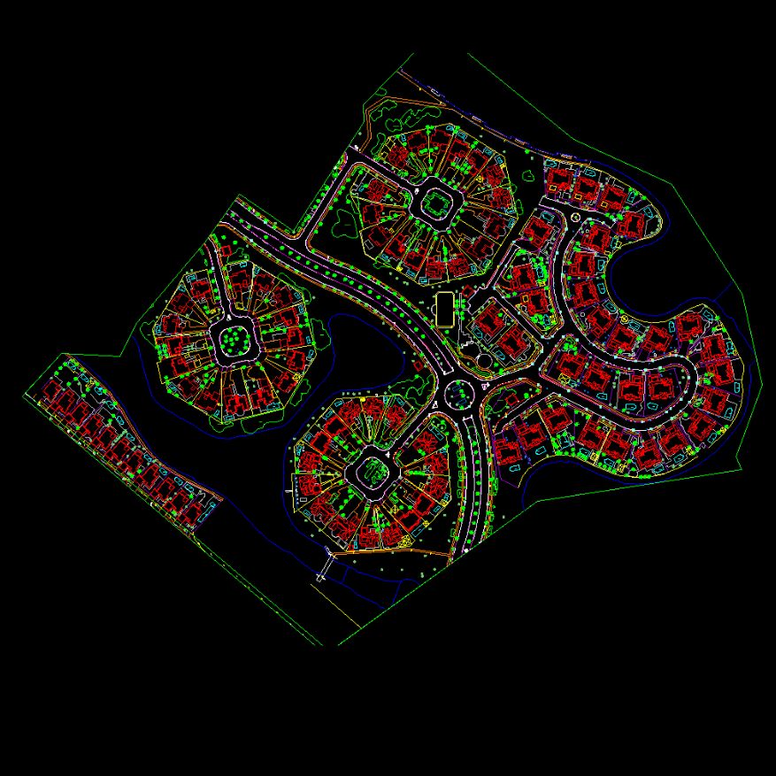
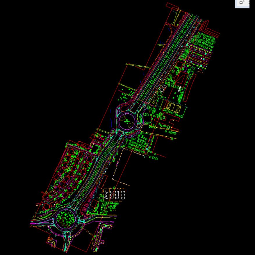
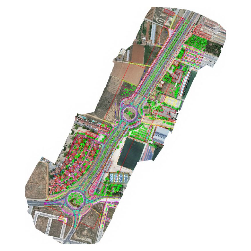
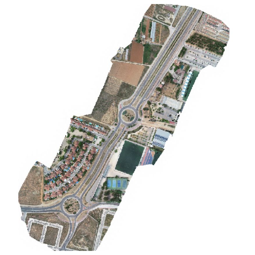
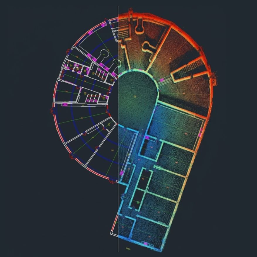
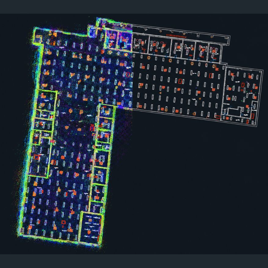
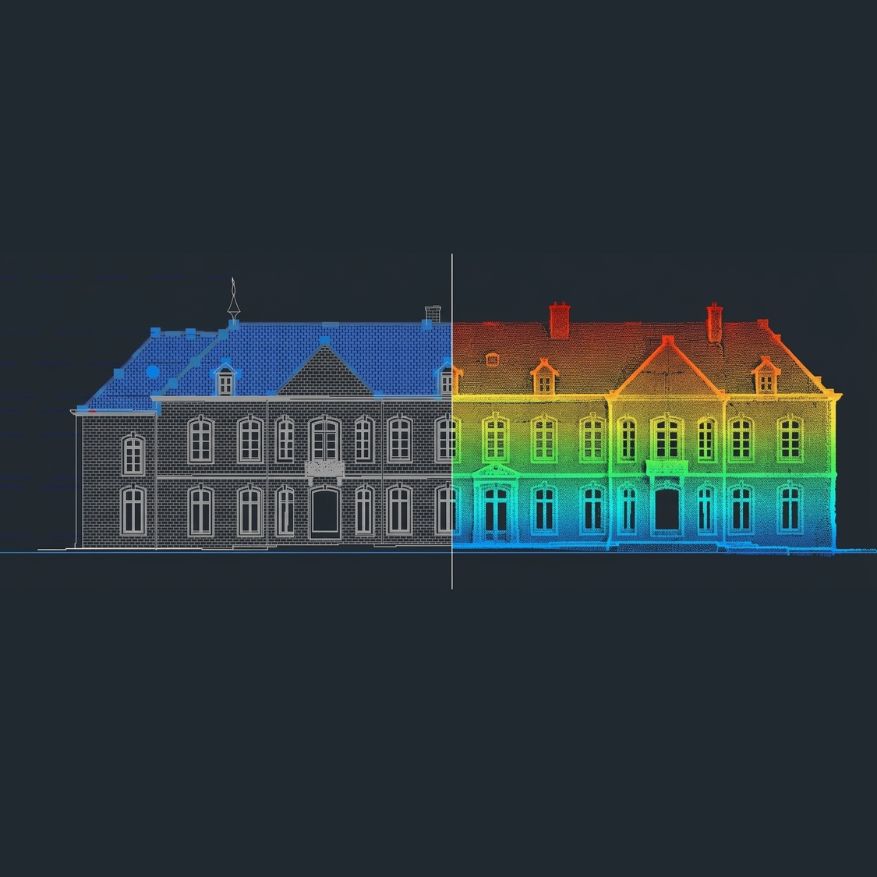
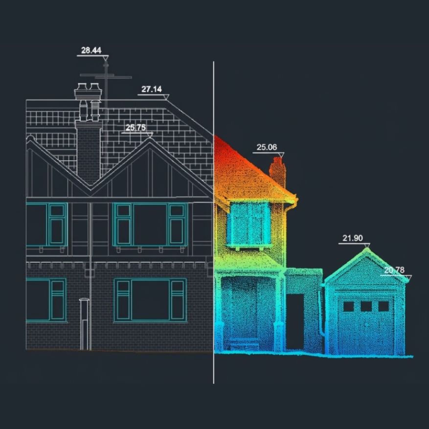
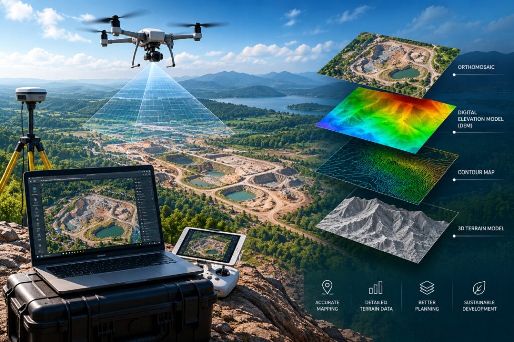
High-resolution drone imagery was processed to create accurate orthophotos, elevation models and topographic mapping outputs for project planning and site analysis.
Demo Infrastructure Group
Bengaluru, India
UAV / Drone Data Processing
Completed
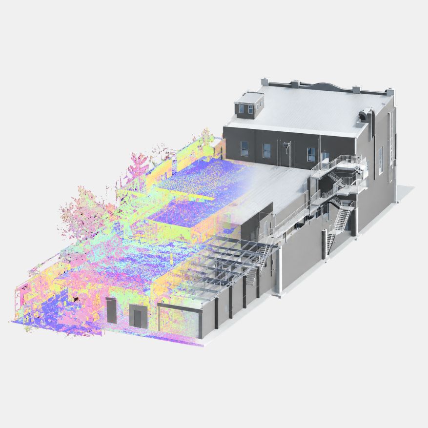
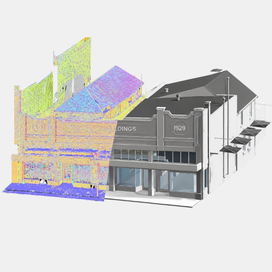
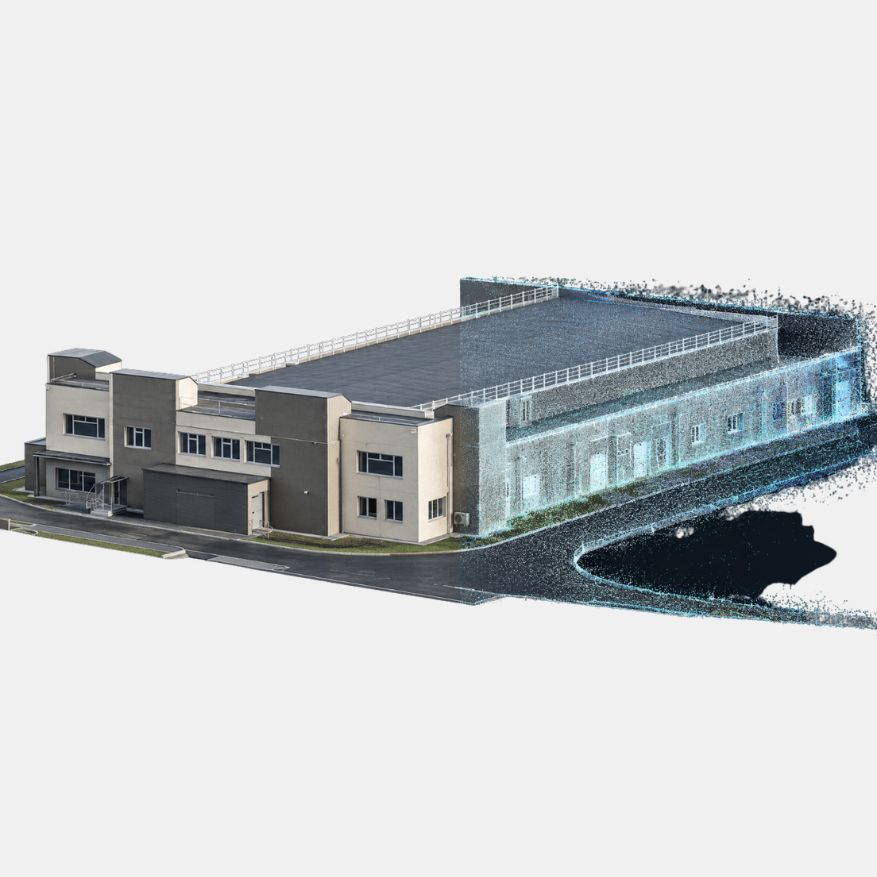
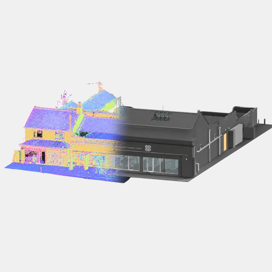
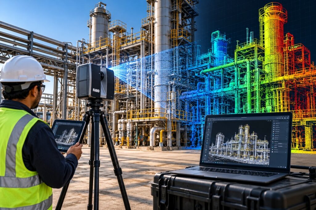
Industrial 3D Laser Scanning
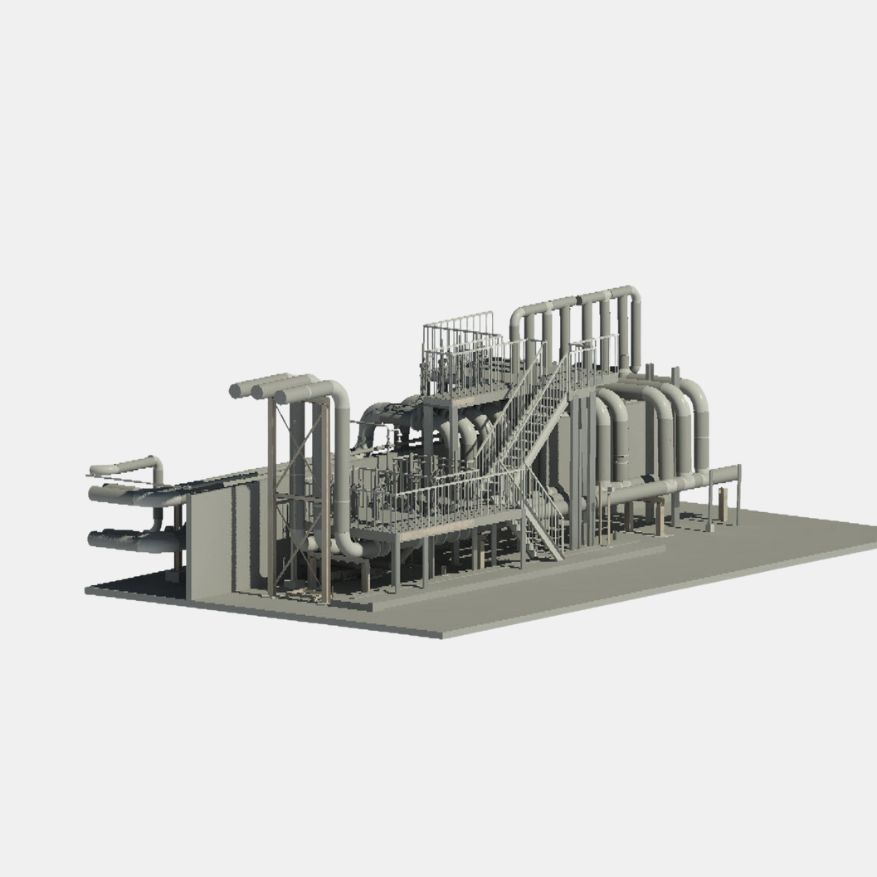
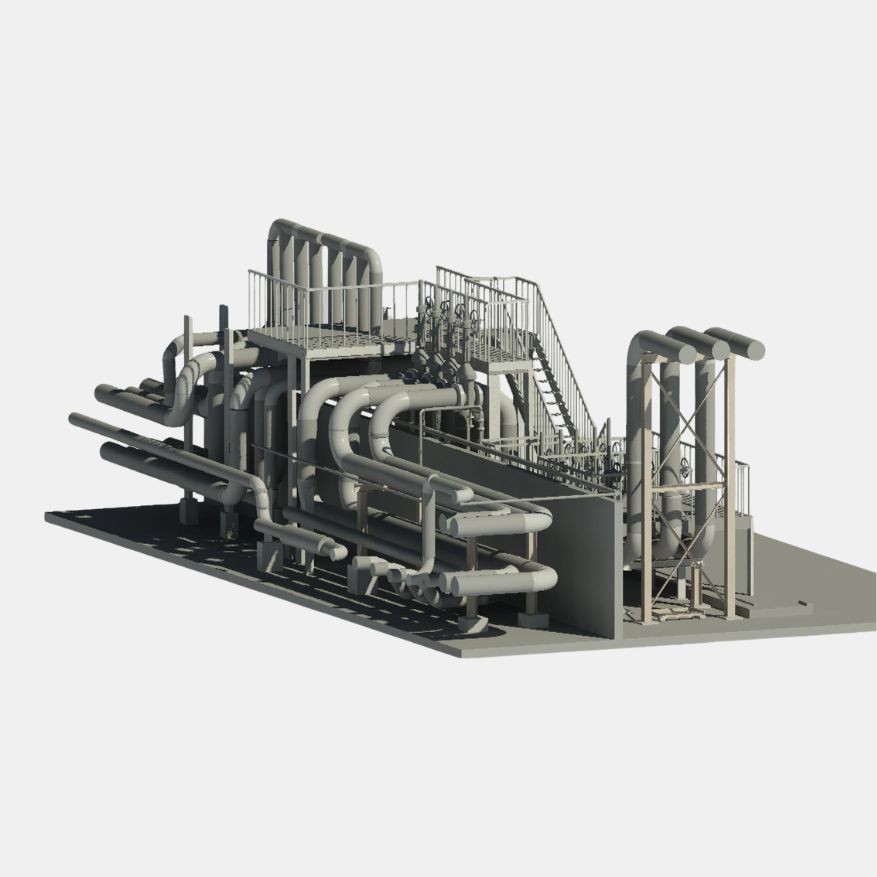
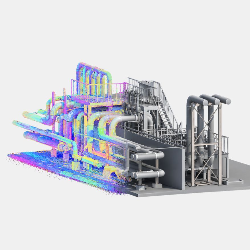
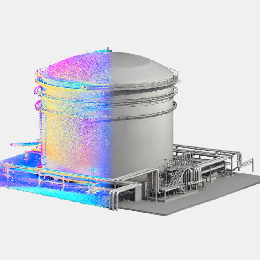
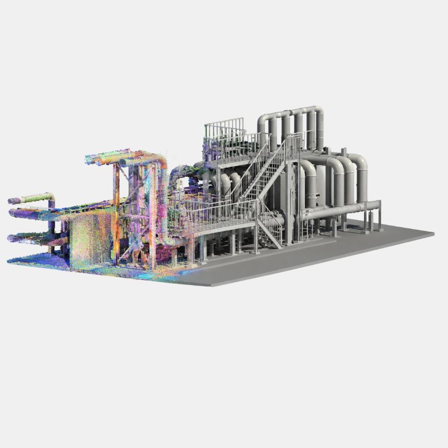
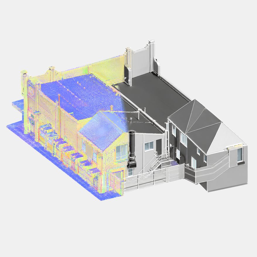
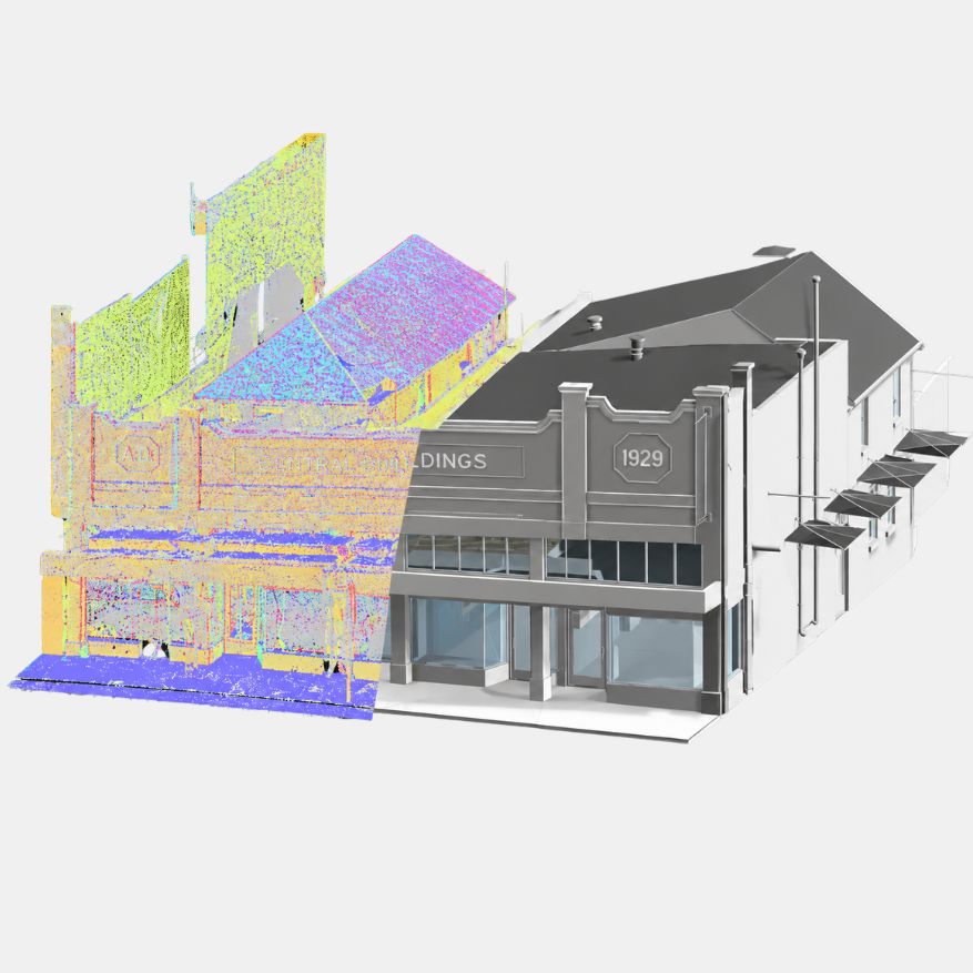
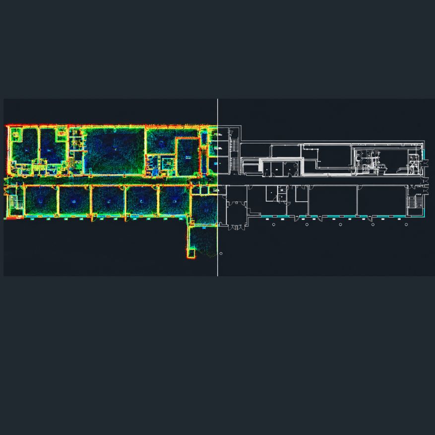
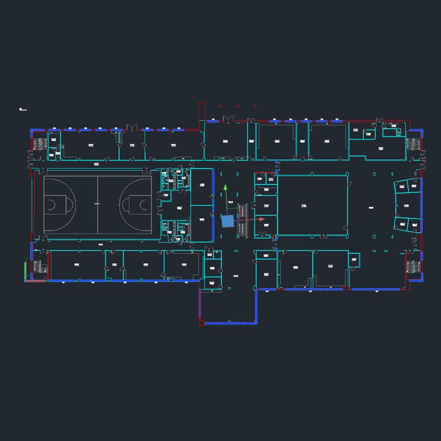
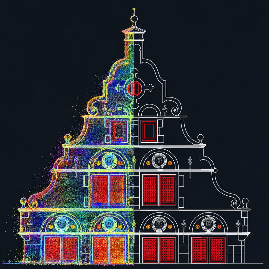
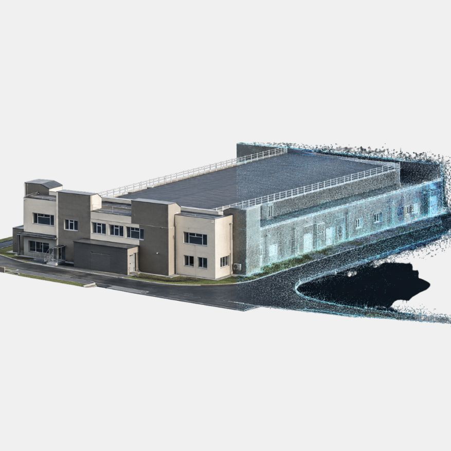
3D laser scanning data was captured and processed to develop detailed point clouds and as-built documentation for an industrial facility.