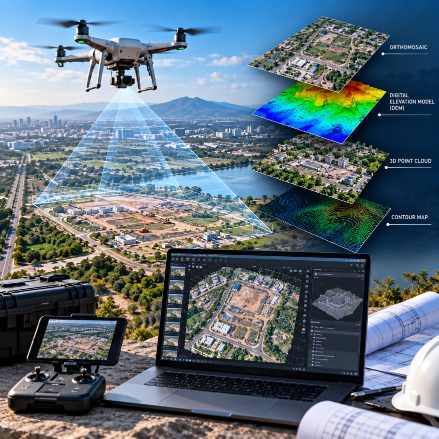
GEODRAFT processes high-resolution UAV and drone imagery to create accurate, detailed and production-ready geospatial datasets for mapping, surveying, inspection and project planning.