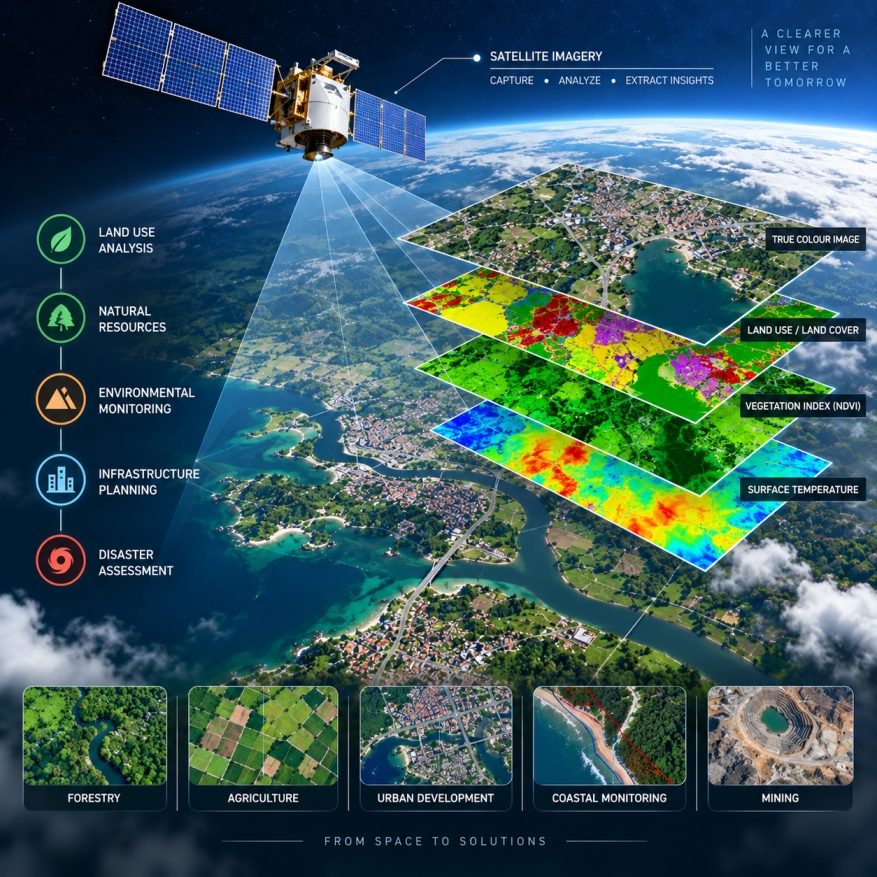
GEODRAFT processes satellite and aerial imagery to extract, analyze and transform spatial information into useful geospatial datasets. Our remote sensing workflows support monitoring, mapping and decision-making across natural resources, infrastructure, environmental and land management applications.