
Photogrammetry Processing & Mapping
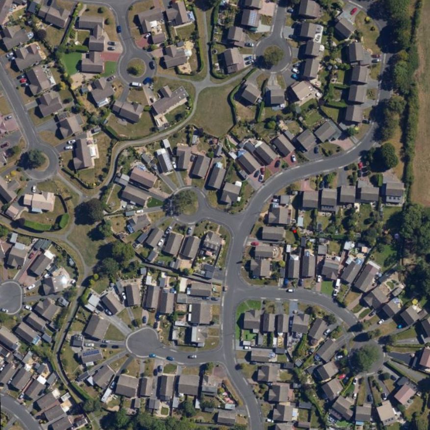
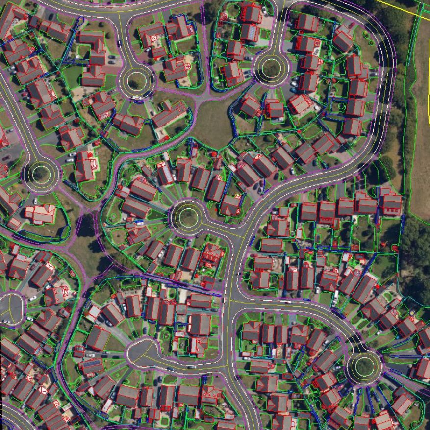
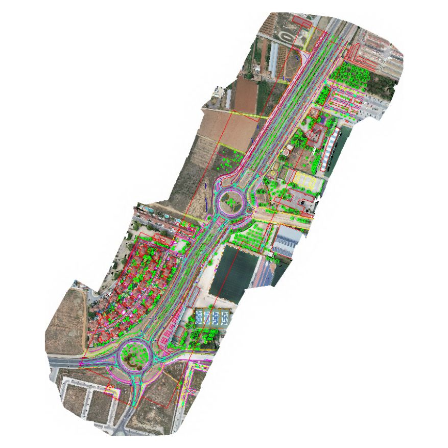
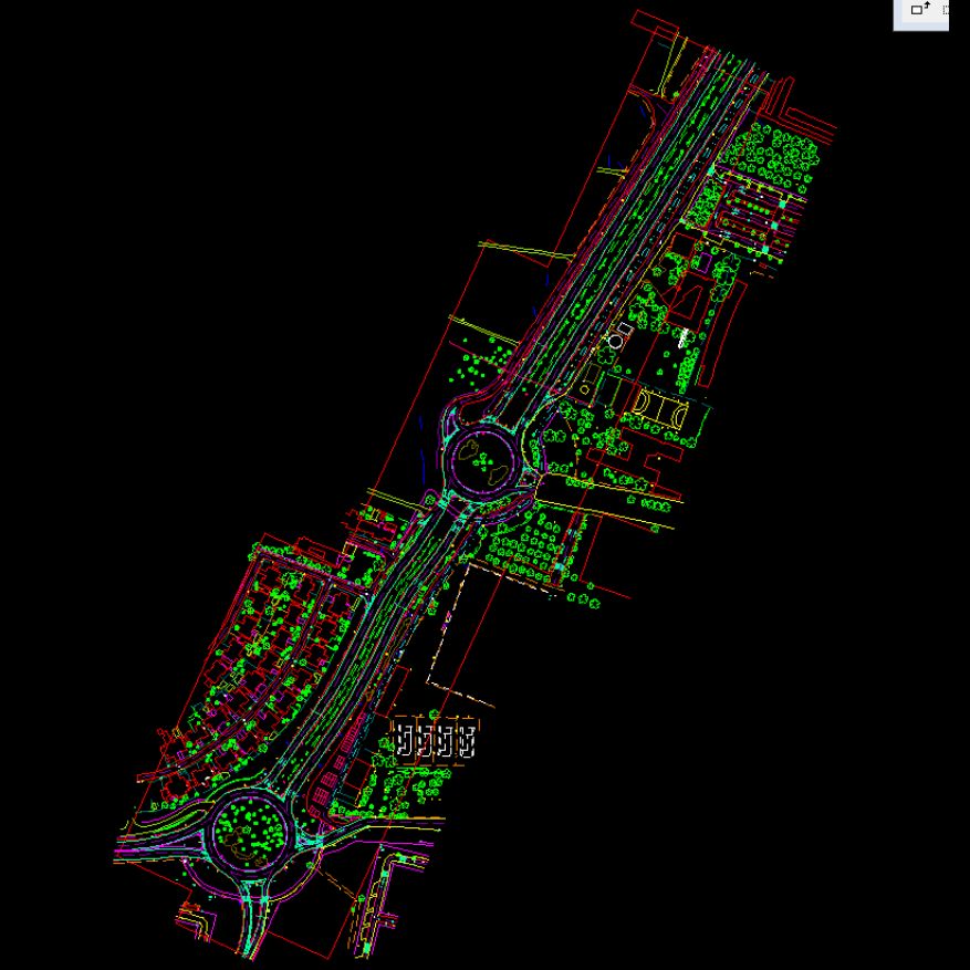
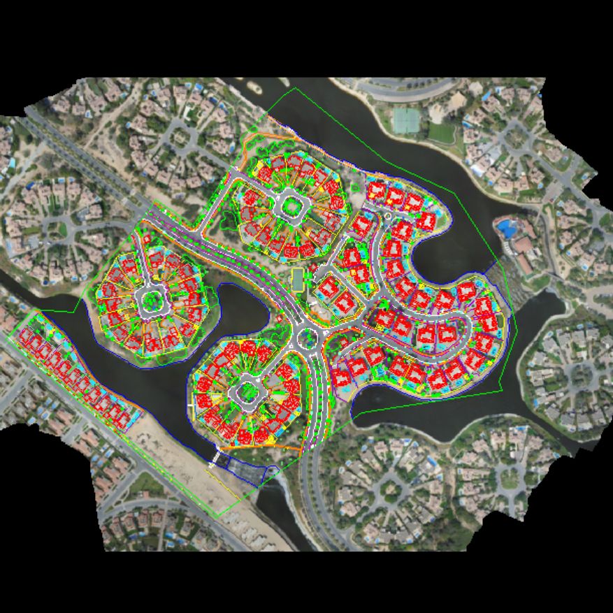
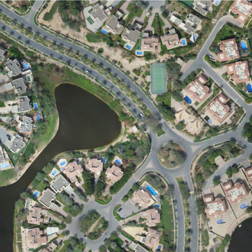
GEODRAFT provides digital photogrammetry solutions for converting aerial imagery into accurate mapping and terrain products. Our workflows support aerial triangulation, topographical mapping, terrain modelling and detailed spatial data generation.
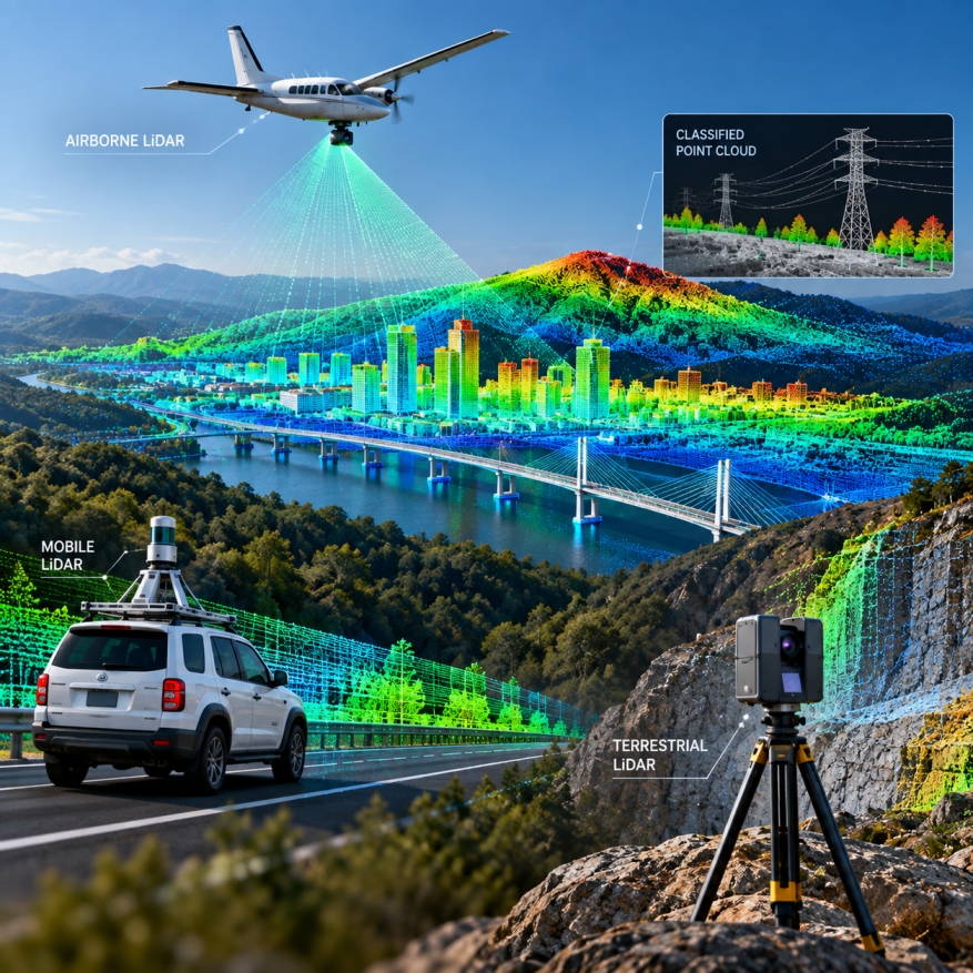
GEODRAFT processes airborne, mobile and terrestrial LiDAR datasets to generate accurate, classified and production-ready geospatial information. Our workflows transform complex point-cloud data into reliable mapping, terrain and 3D deliverables for engineering and infrastructure applications.accurate mapping and terrain products.
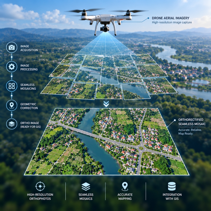
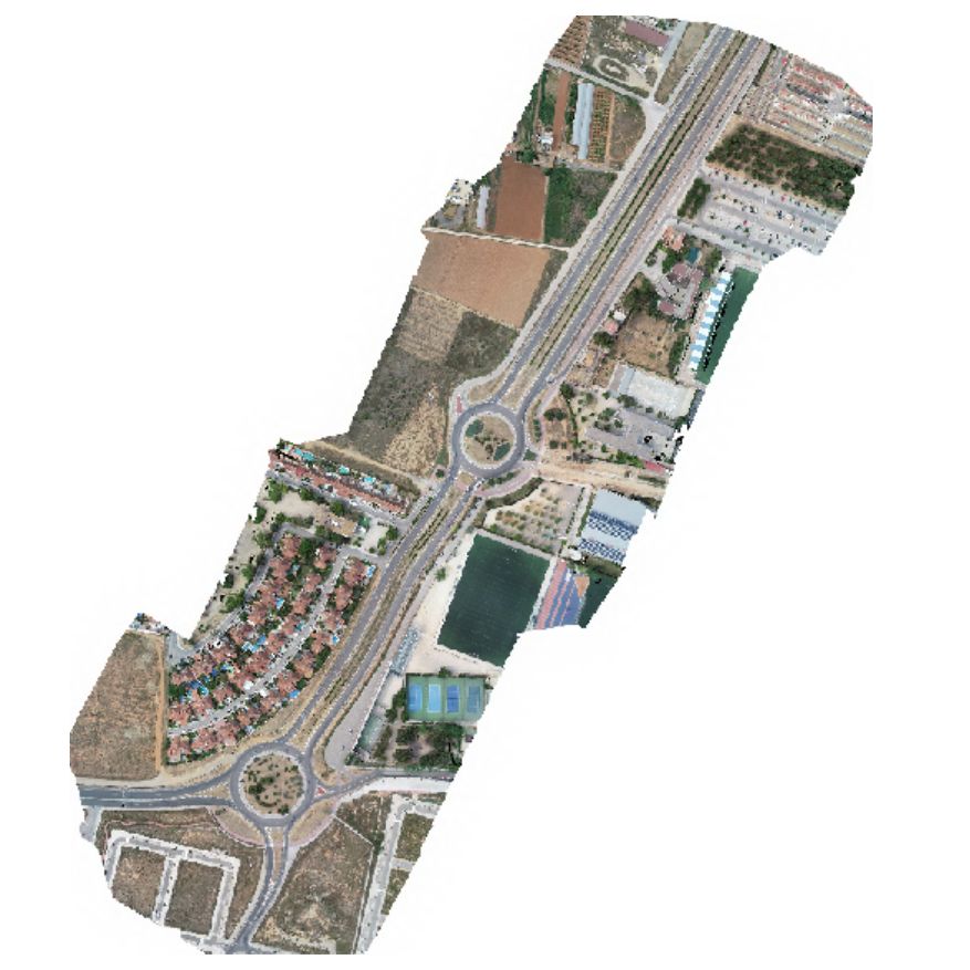
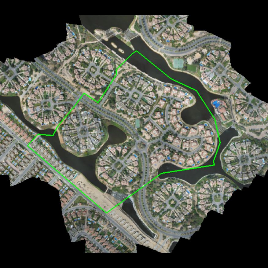
GEODRAFT processes aerial and drone imagery to produce geometrically corrected, high-resolution orthophotos and seamless image mosaics. Our workflows correct image distortions and align imagery with accurate geographic coordinates, making the final products suitable for mapping, visual interpretation and integration with other geospatial datasets.
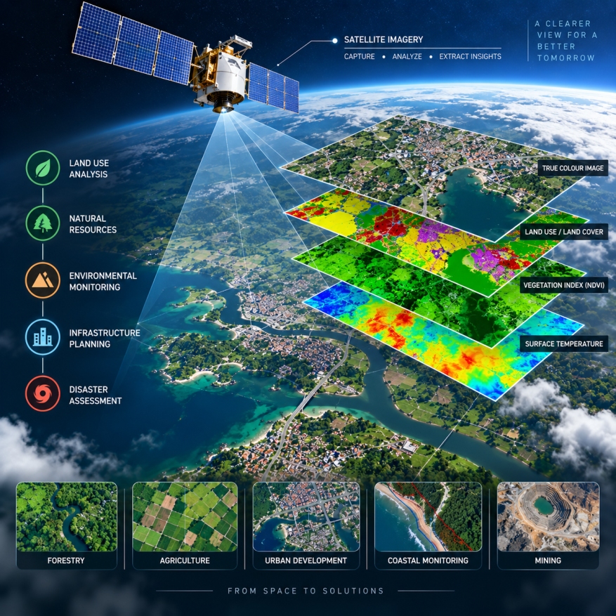
GEODRAFT processes satellite and aerial imagery to extract, analyze and transform spatial information into useful geospatial datasets. Our remote sensing workflows support monitoring, mapping and decision-making across natural resources, infrastructure, environmental and land management applications.
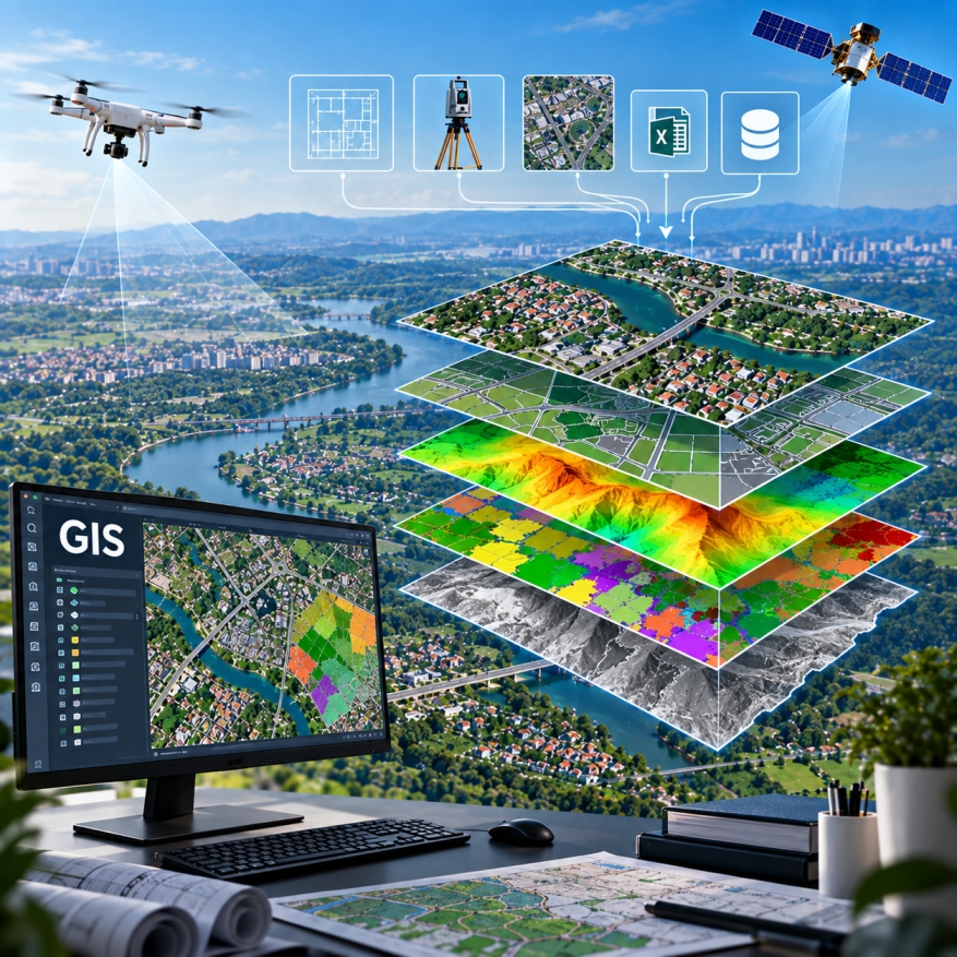
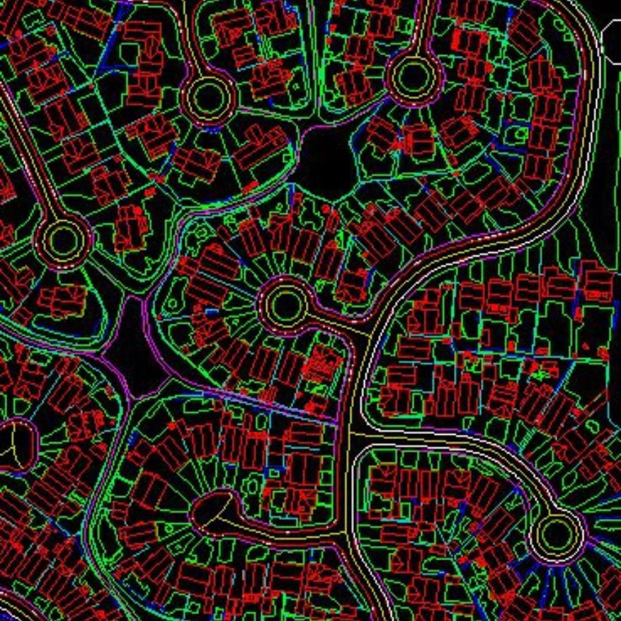
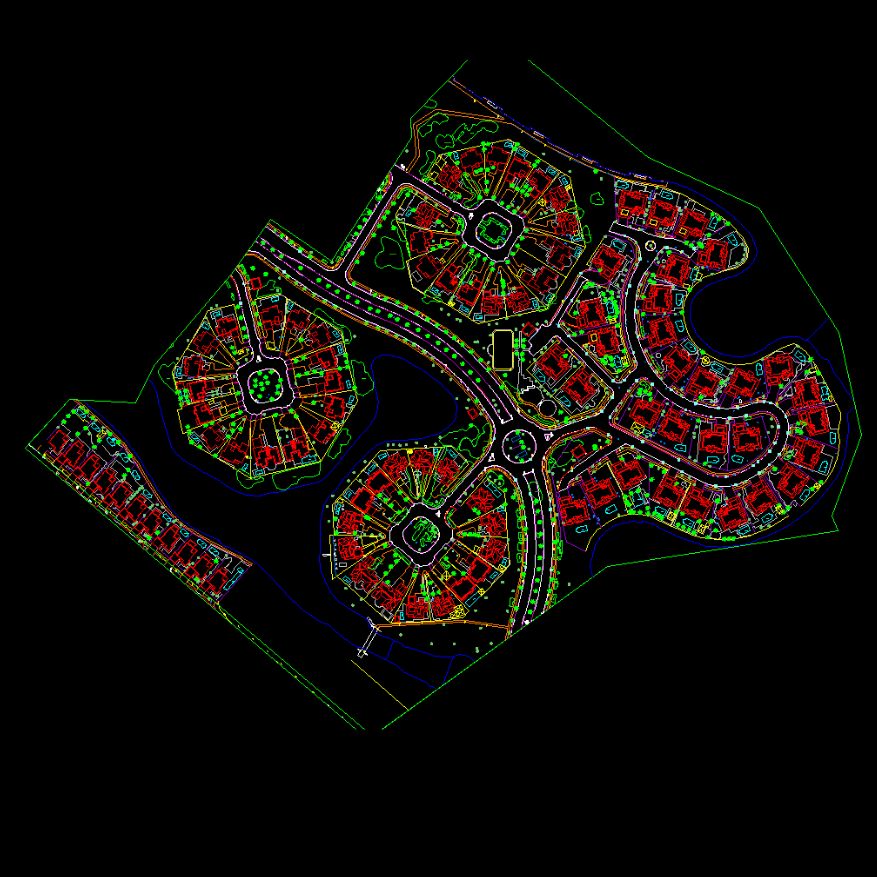
GIS (Geographic Information System) services for creating, converting, managing and maintaining accurate spatial and non-spatial datasets from multiple data sources. We integrate CAD, survey data, imagery and existing GIS datasets to deliver structured, reliable and production-ready geospatial information.
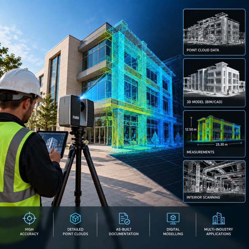
High-accuracy 3D laser scanning services for capturing detailed spatial information from buildings, structures, industrial facilities and complex environments. We convert laser scan data into accurate point clouds and deliverables that support measurement, documentation, as-built requirements and digital modelling.
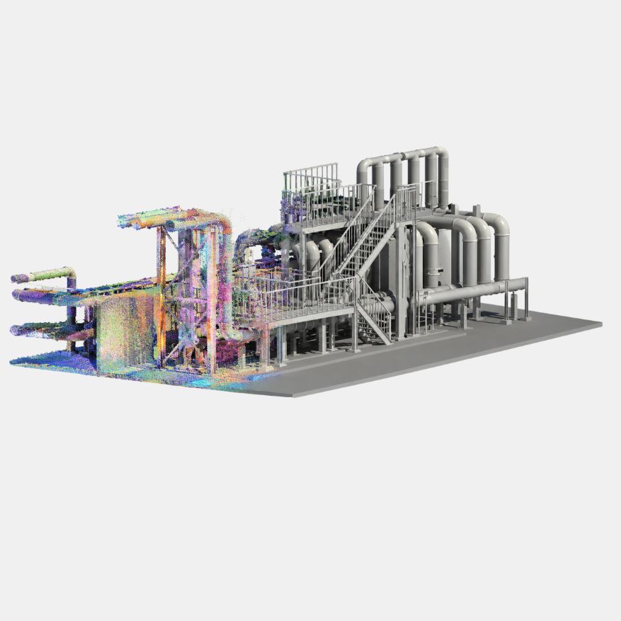
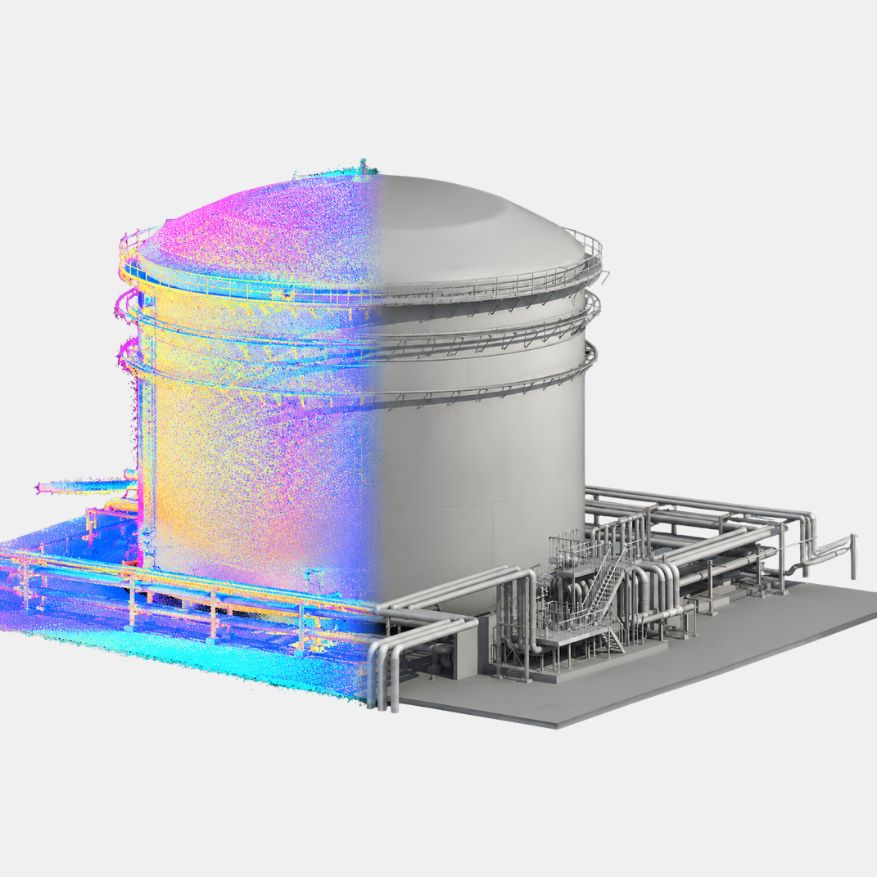
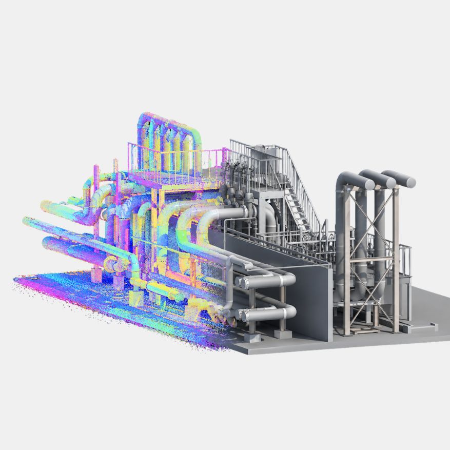
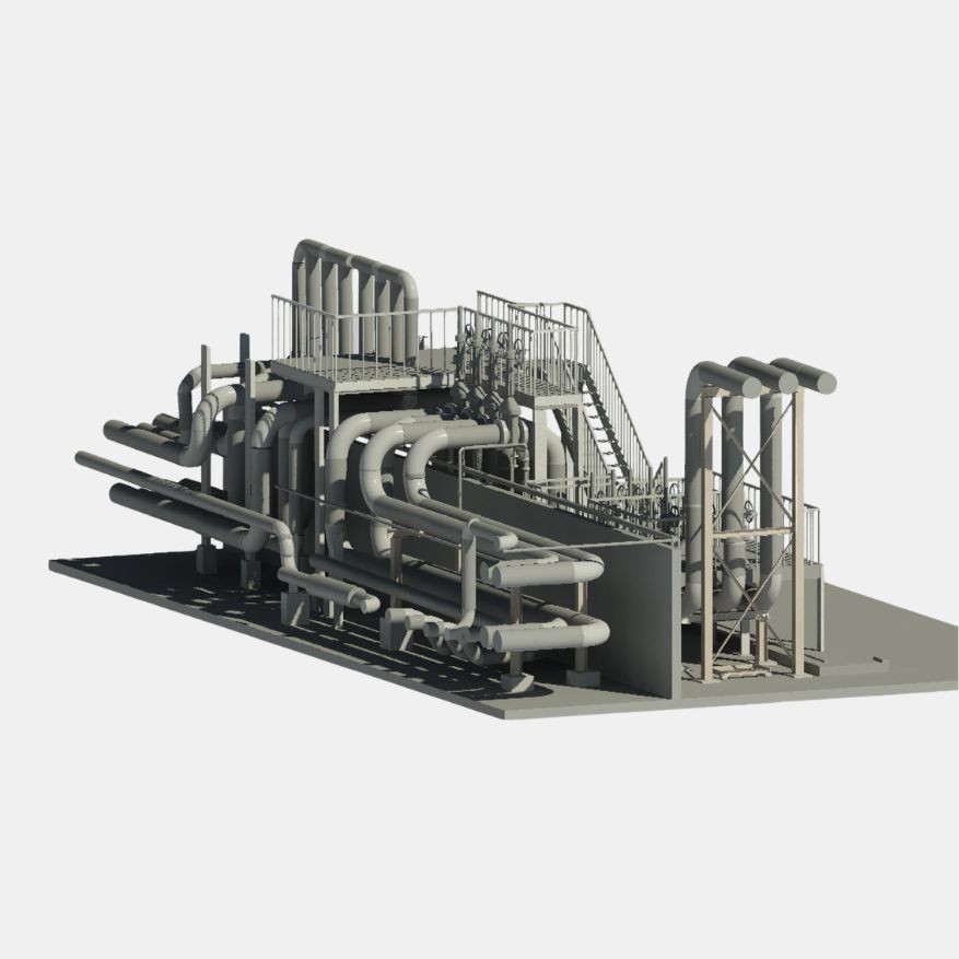
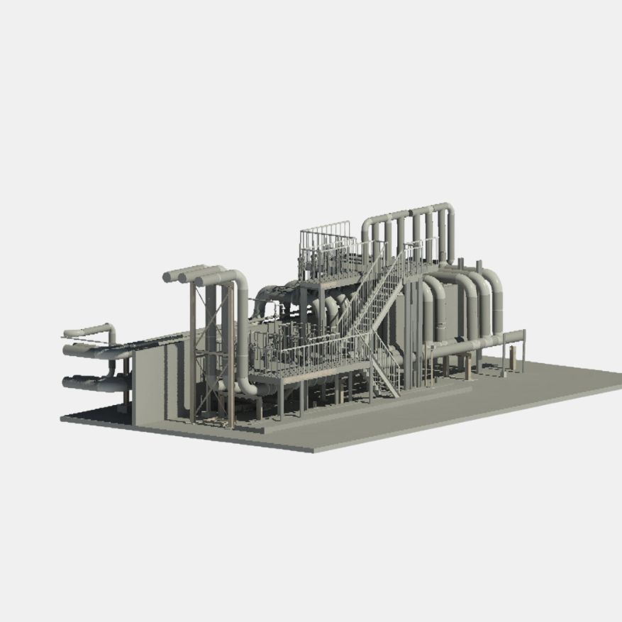


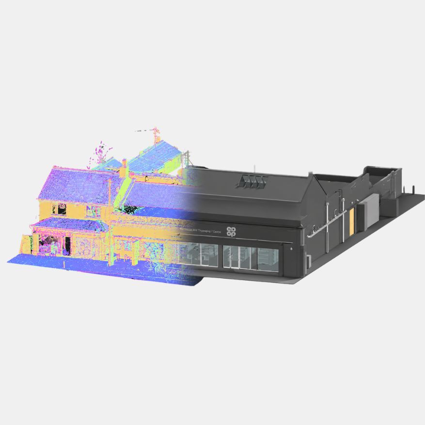
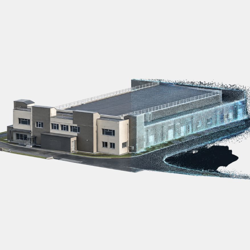
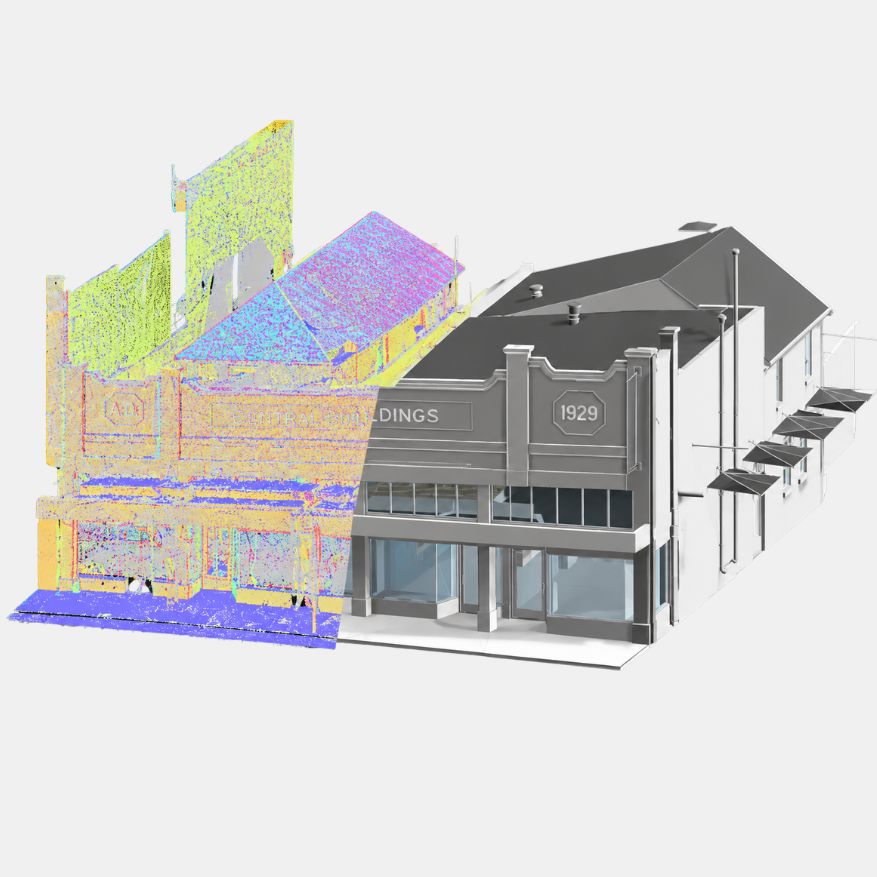

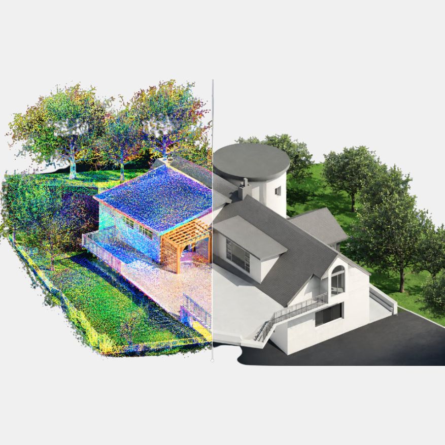
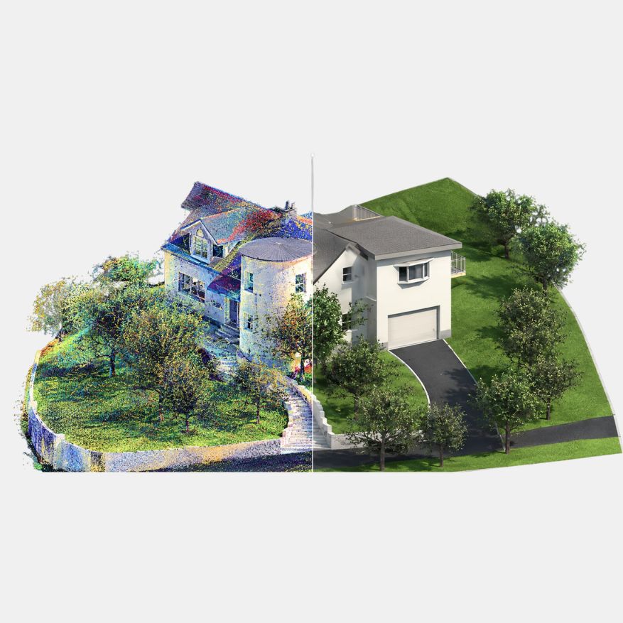
GEODRAFT transforms point cloud and laser scan data into accurate, structured and production-ready BIM models for buildings, infrastructure and industrial facilities. Our Scan-to-BIM workflows convert reality-capture data into detailed Revit and BIM models that support design, documentation, coordination and asset management.
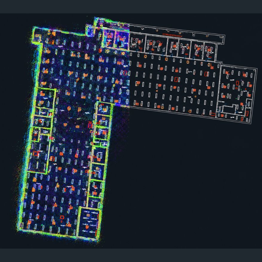
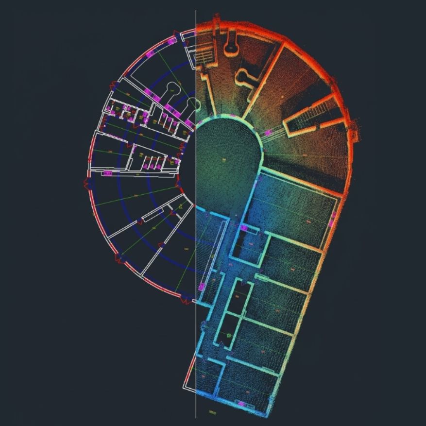
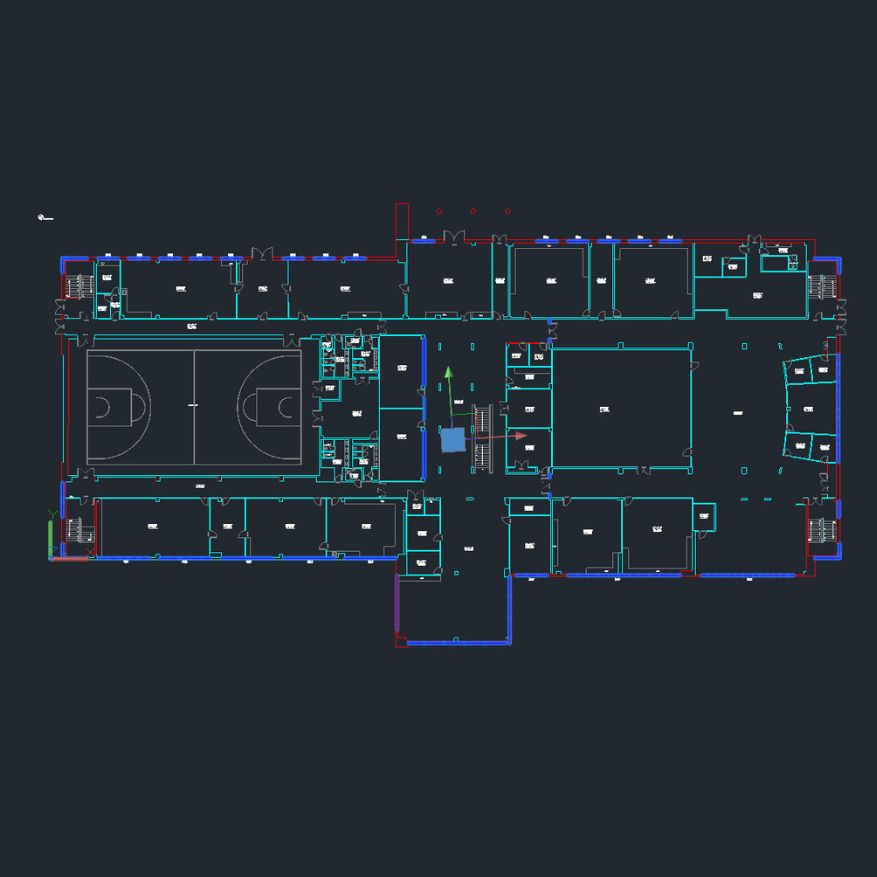
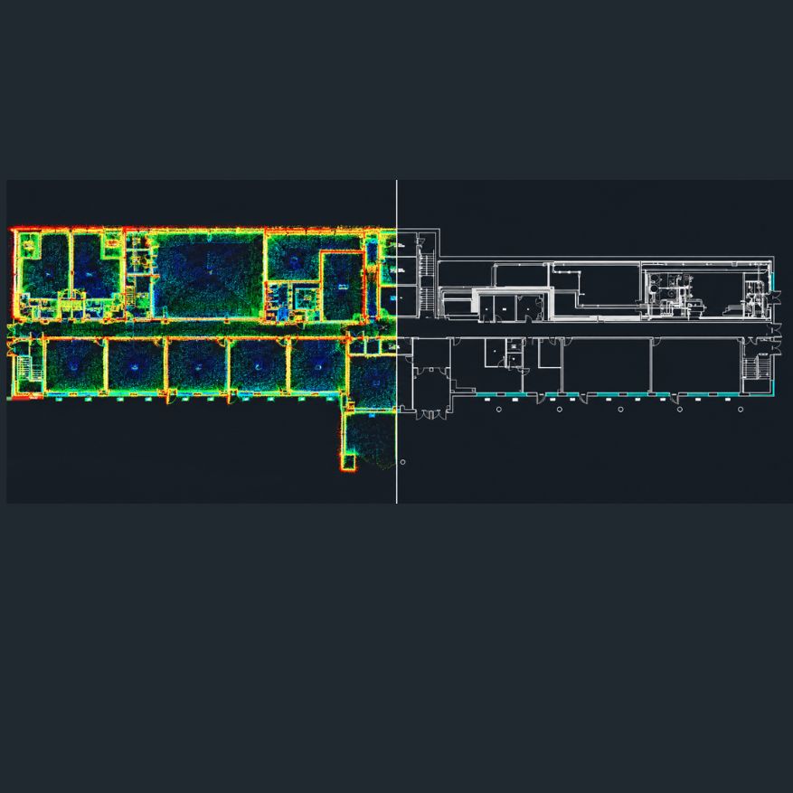
GEODRAFT converts point cloud, laser scan and survey data into accurate 2D and 3D CAD drawings. Our Scan-to-CAD workflows capture existing conditions and transform reality-capture data into detailed, structured drawings suitable for design, documentation, engineering and as-built requirements.
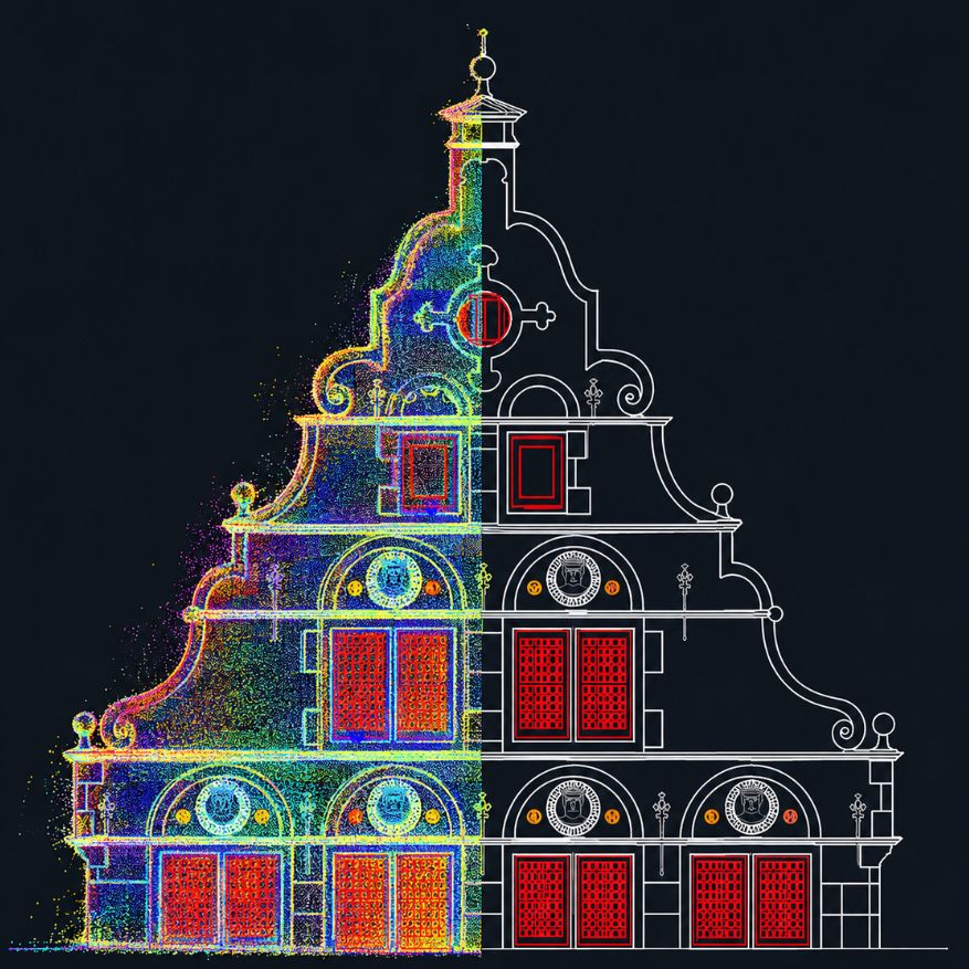
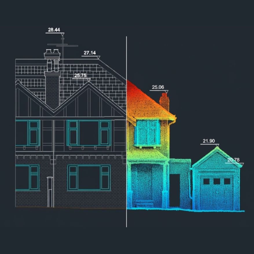
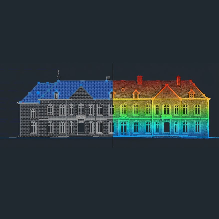

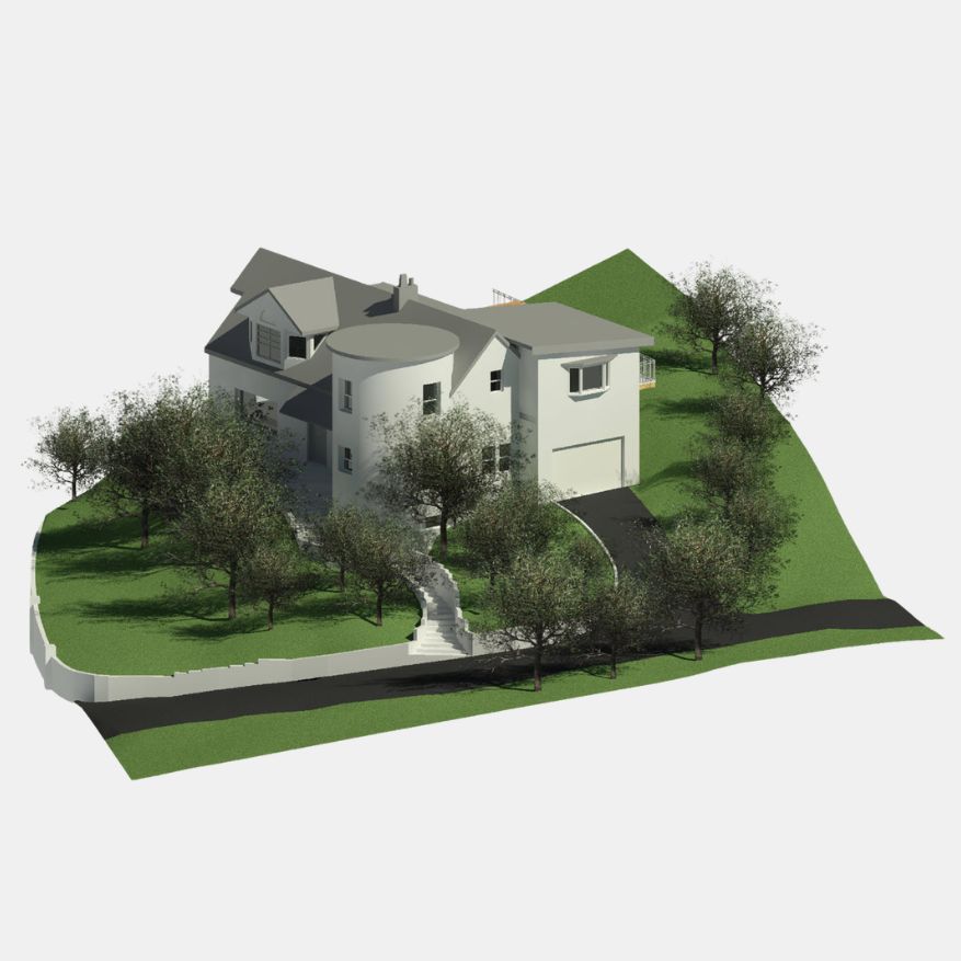
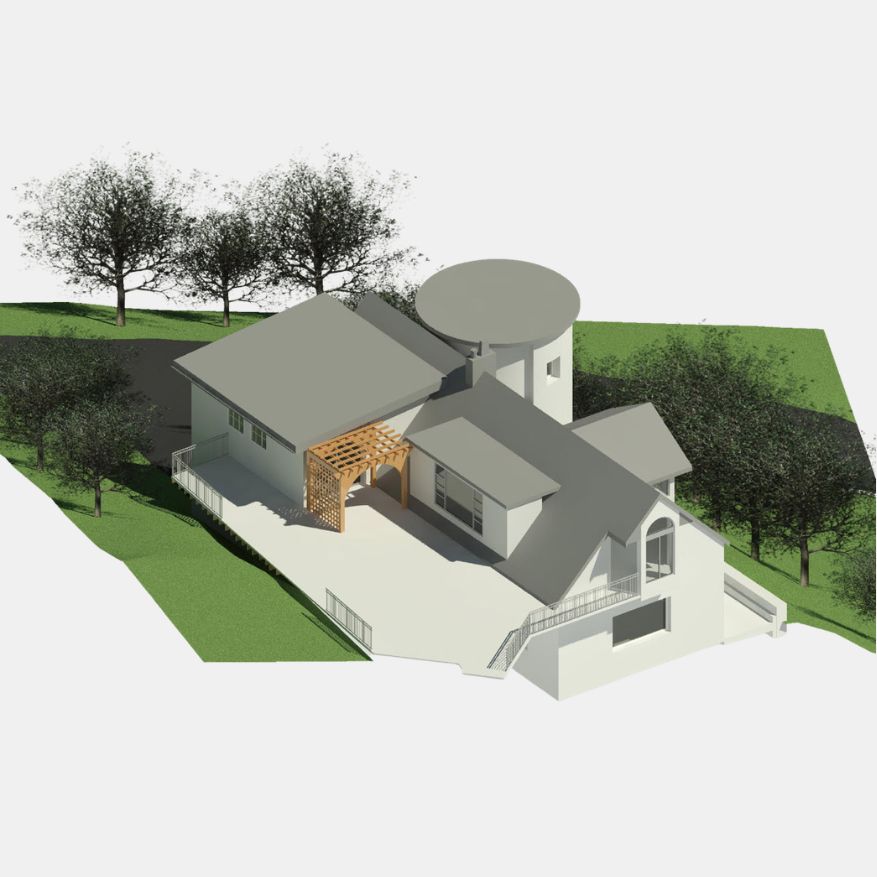
GEODRAFT develops detailed and accurate 3D city models by integrating aerial imagery, LiDAR, photogrammetry and other geospatial datasets. Our workflows transform complex spatial data into realistic and structured urban environments that support planning, visualization, infrastructure development and digital-city applications.
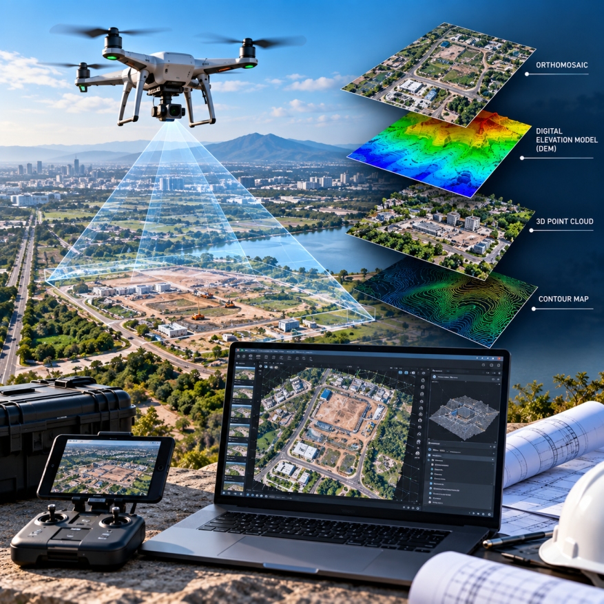
GEODRAFT processes high-resolution UAV and drone imagery to create accurate, detailed and production-ready geospatial datasets for mapping, surveying, inspection and project planning.
GEODRAFT in Hassan, Karnataka for LiDAR, GIS,
photogrammetry, laser scanning, BIM, CAD and other geospatial services.
2026 Copyright © GEODRAFT