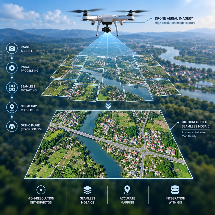
GEODRAFT processes aerial and drone imagery to produce geometrically corrected, high-resolution orthophotos and seamless image mosaics. Our workflows correct image distortions and align imagery with accurate geographic coordinates, making the final products suitable for mapping, visual interpretation and integration with other geospatial datasets.