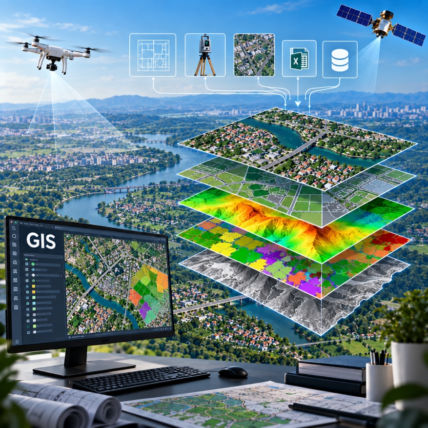
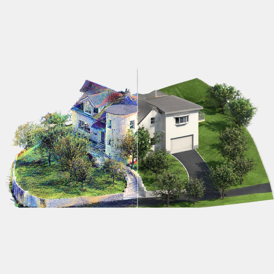
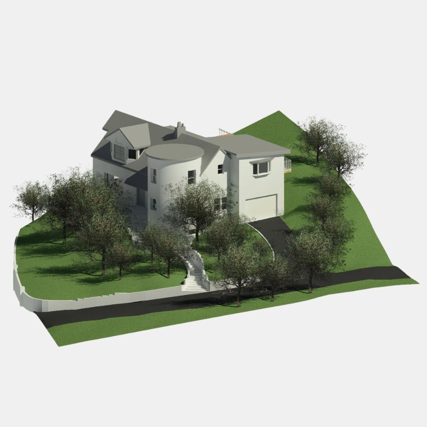
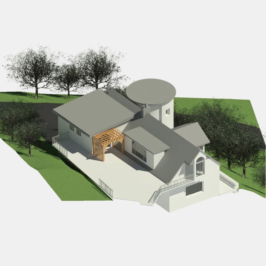
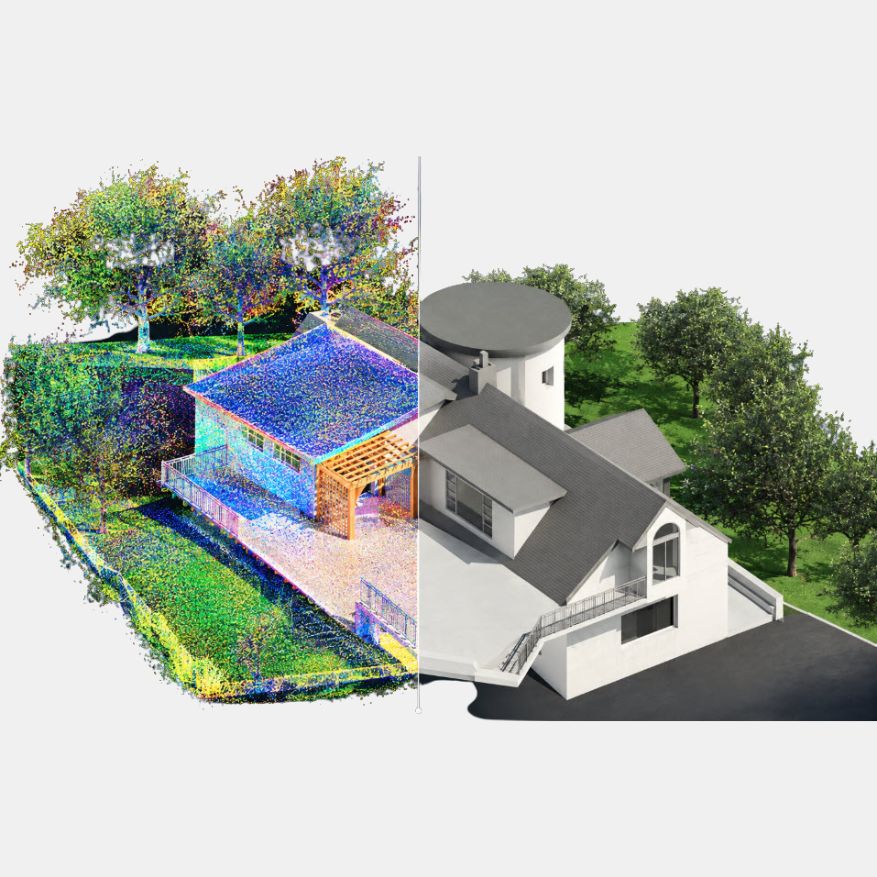
GEODRAFT develops detailed and accurate 3D city models by integrating aerial imagery, LiDAR, photogrammetry and other geospatial datasets. Our workflows transform complex spatial data into realistic and structured urban environments that support planning, visualization, infrastructure development and digital-city applications.