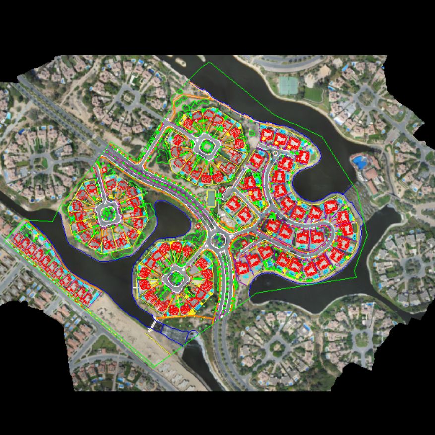
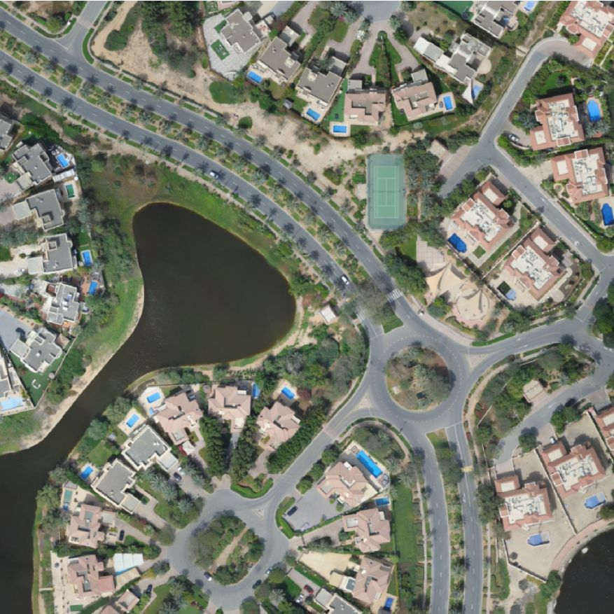
Photogrammetry Processing & Mapping
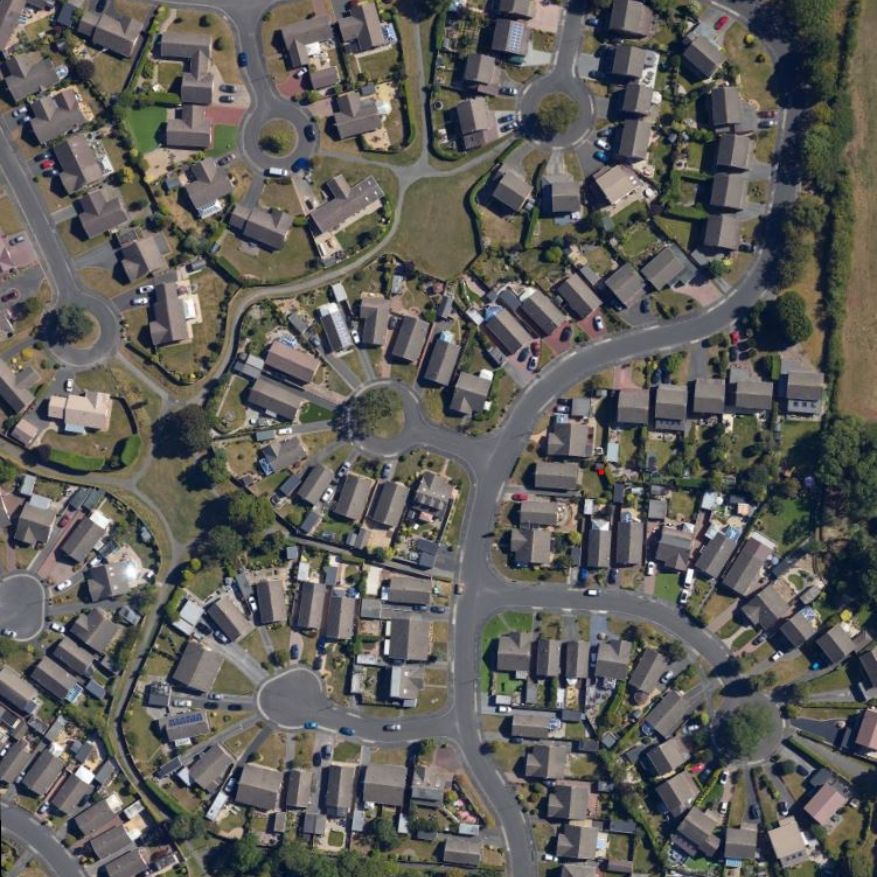
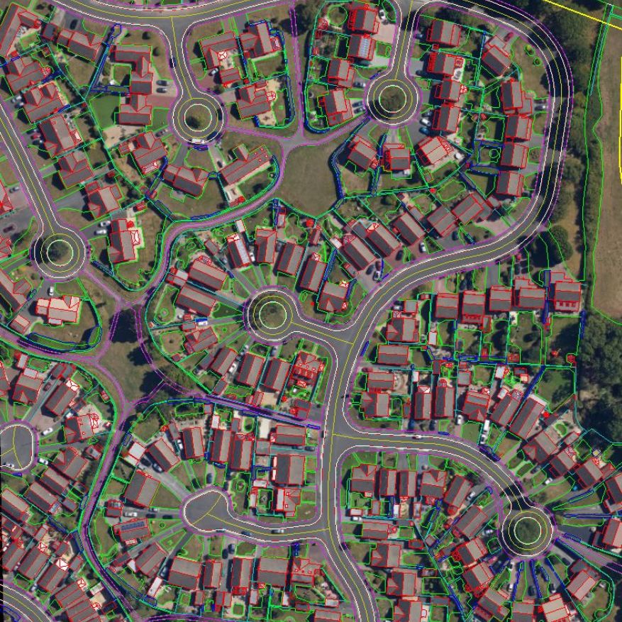
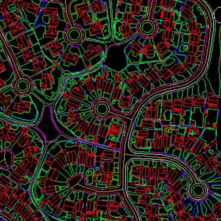
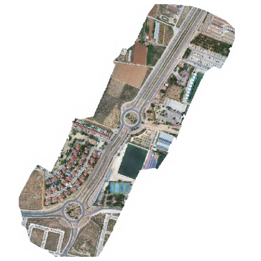
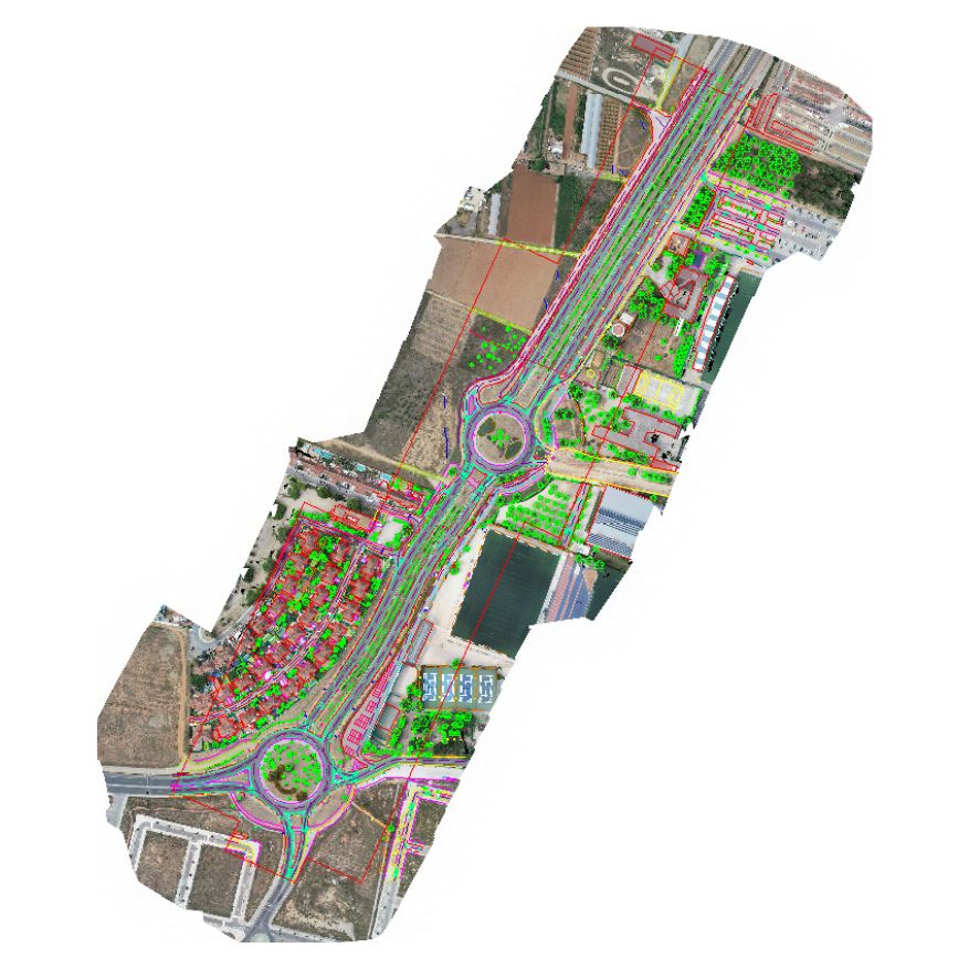
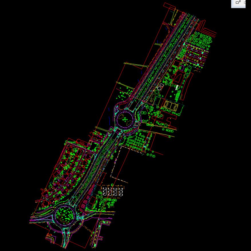
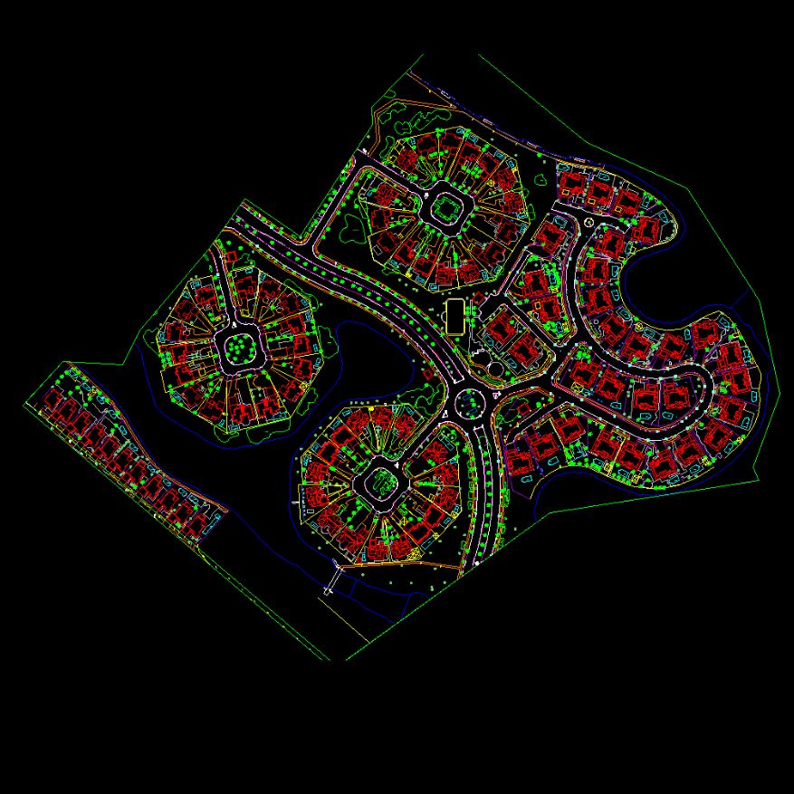
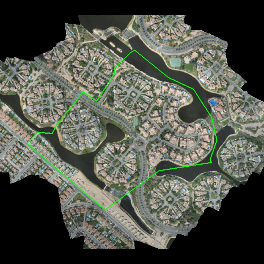
GEODRAFT provides digital photogrammetry solutions for converting aerial imagery into accurate mapping and terrain products. Our workflows support aerial triangulation, topographical mapping, terrain modelling and detailed spatial data generation.