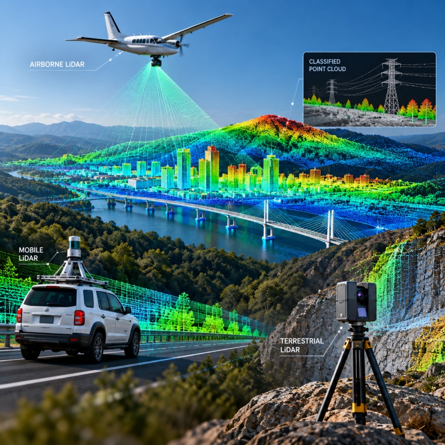
GEODRAFT processes airborne, mobile and terrestrial LiDAR datasets to generate accurate, classified and production-ready geospatial information. Our workflows transform complex point-cloud data into reliable mapping, terrain and 3D deliverables for engineering and infrastructure applications.accurate mapping and terrain products.