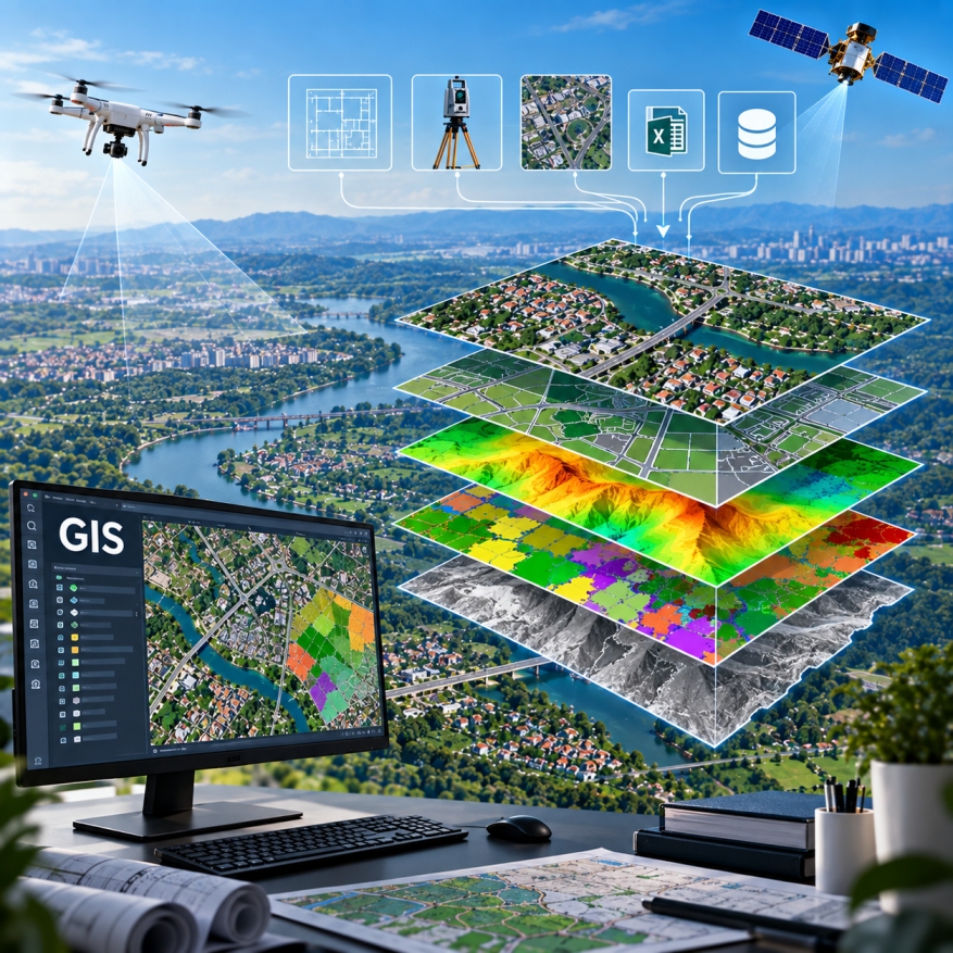
GIS (Geographic Information System) services for creating, converting, managing and maintaining accurate spatial and non-spatial datasets from multiple data sources. We integrate CAD, survey data, imagery and existing GIS datasets to deliver structured, reliable and production-ready geospatial information.