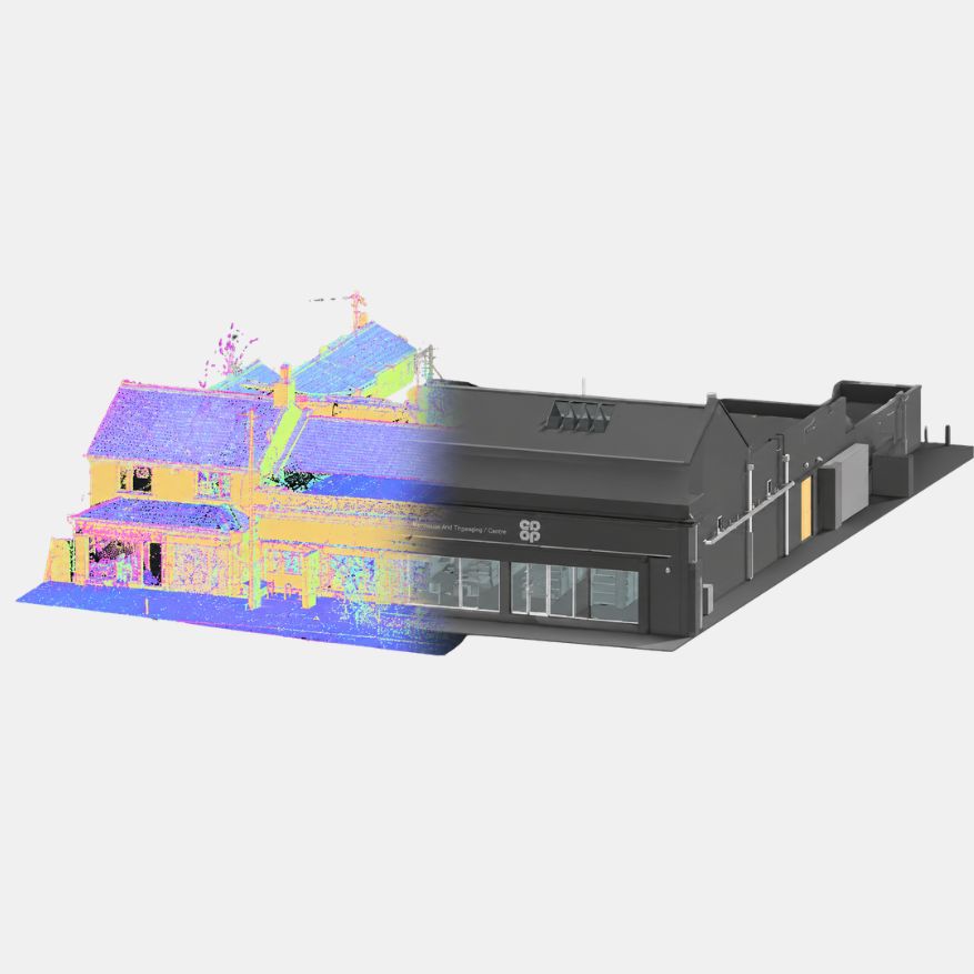
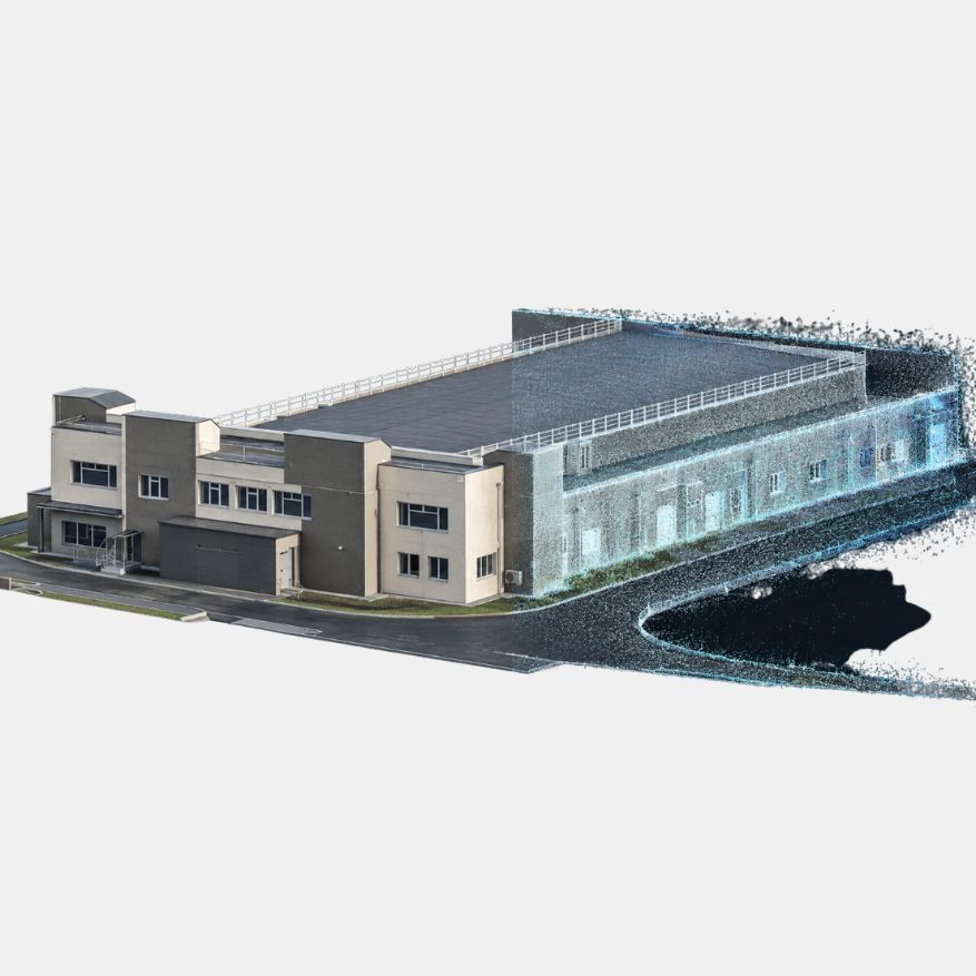
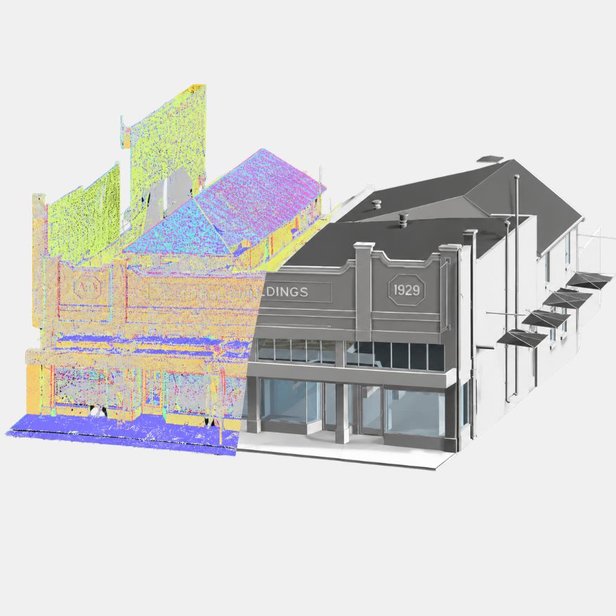
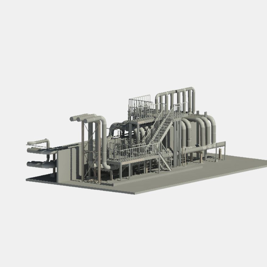
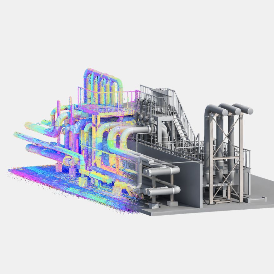
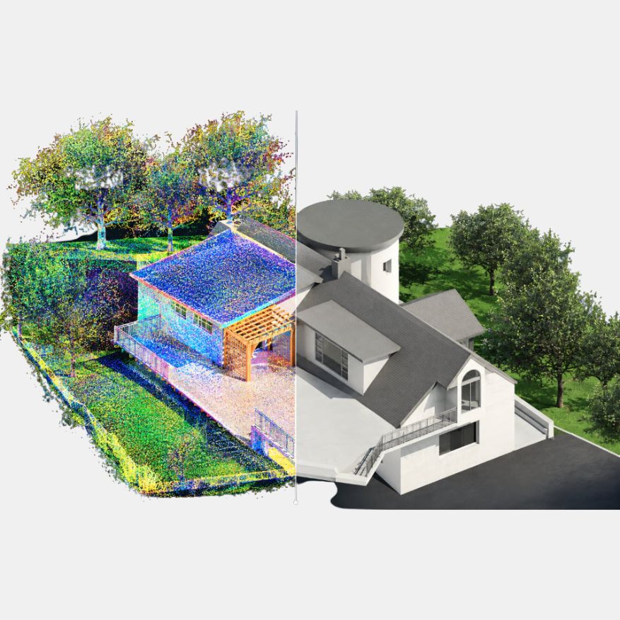
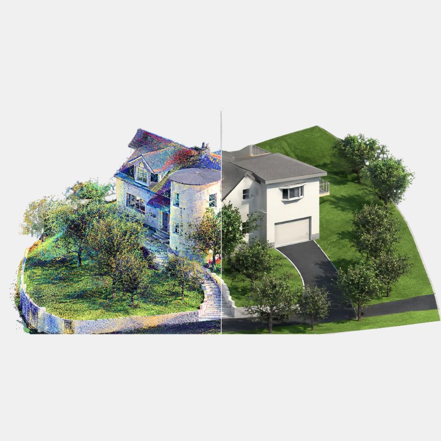
GEODRAFT transforms point cloud and laser scan data into accurate, structured and production-ready BIM models for buildings, infrastructure and industrial facilities. Our Scan-to-BIM workflows convert reality-capture data into detailed Revit and BIM models that support design, documentation, coordination and asset management.