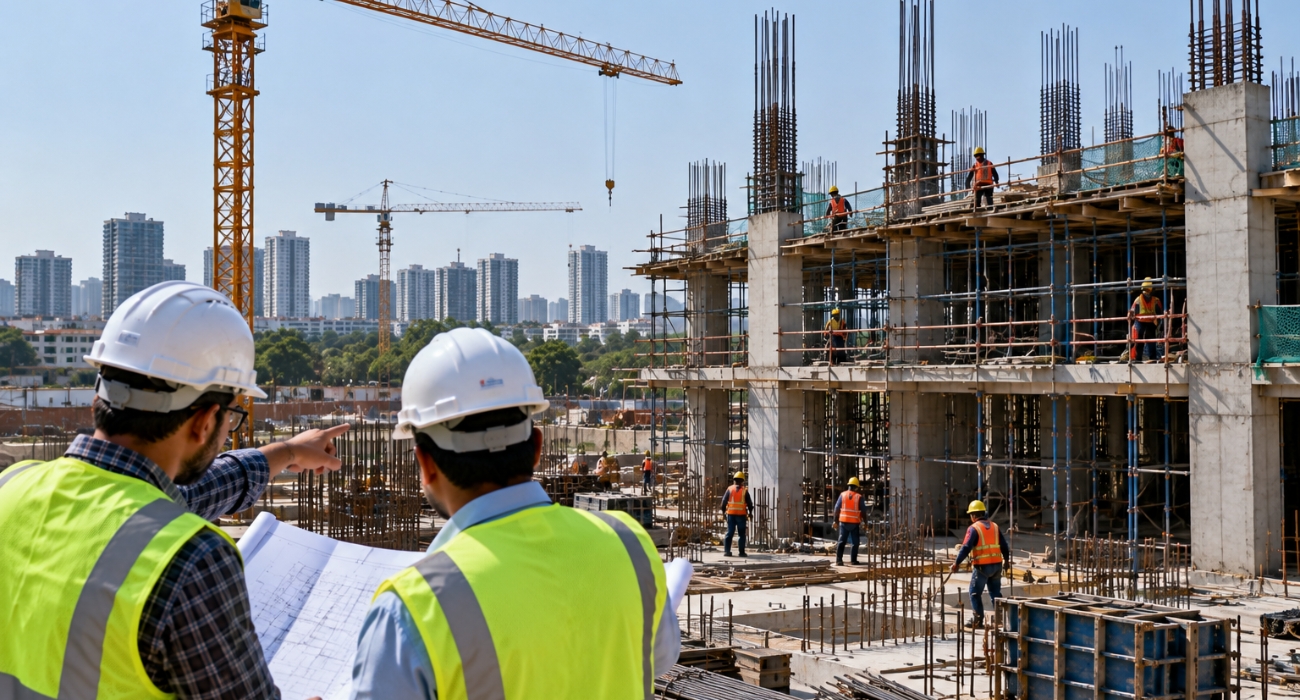
From Reality Capture to BIMTransform buildings and construction environments into accurate, intelligent digital models.
Key areas: Scan-to-BIM · Scan-to-CAD · Revit · As-Built Documentation · Structural & MEP Modelling · Topographic Mapping
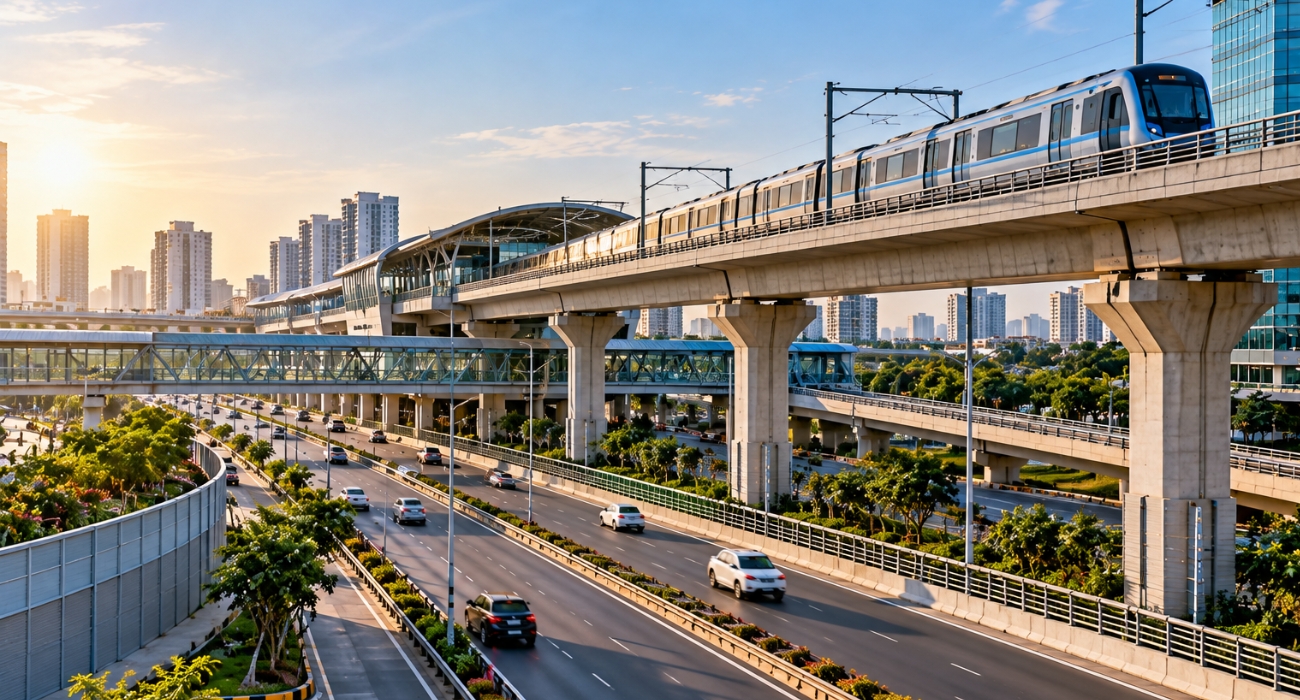
Mapping the Assets That Connect Communities
Delivering accurate geospatial data and digital engineering solutions for roads, rail, bridges, airports and transportation corridors.
Key areas: LiDAR Mapping · Corridor Mapping · Topographic Surveys · DTM/DSM · Asset Mapping · 3D Infrastructure · Digital Twins
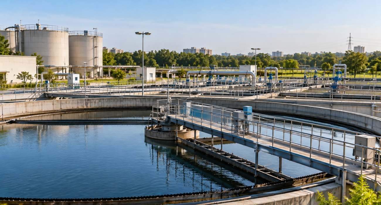
Understanding Critical Natural & Built Assets
Helping water authorities and environmental organizations turn complex spatial data into actionable digital information.
Key areas: Water & Wastewater · Treatment Plants · Utility Mapping · Flood Mapping · Terrain Modelling · Environmental Mapping · Asset Management
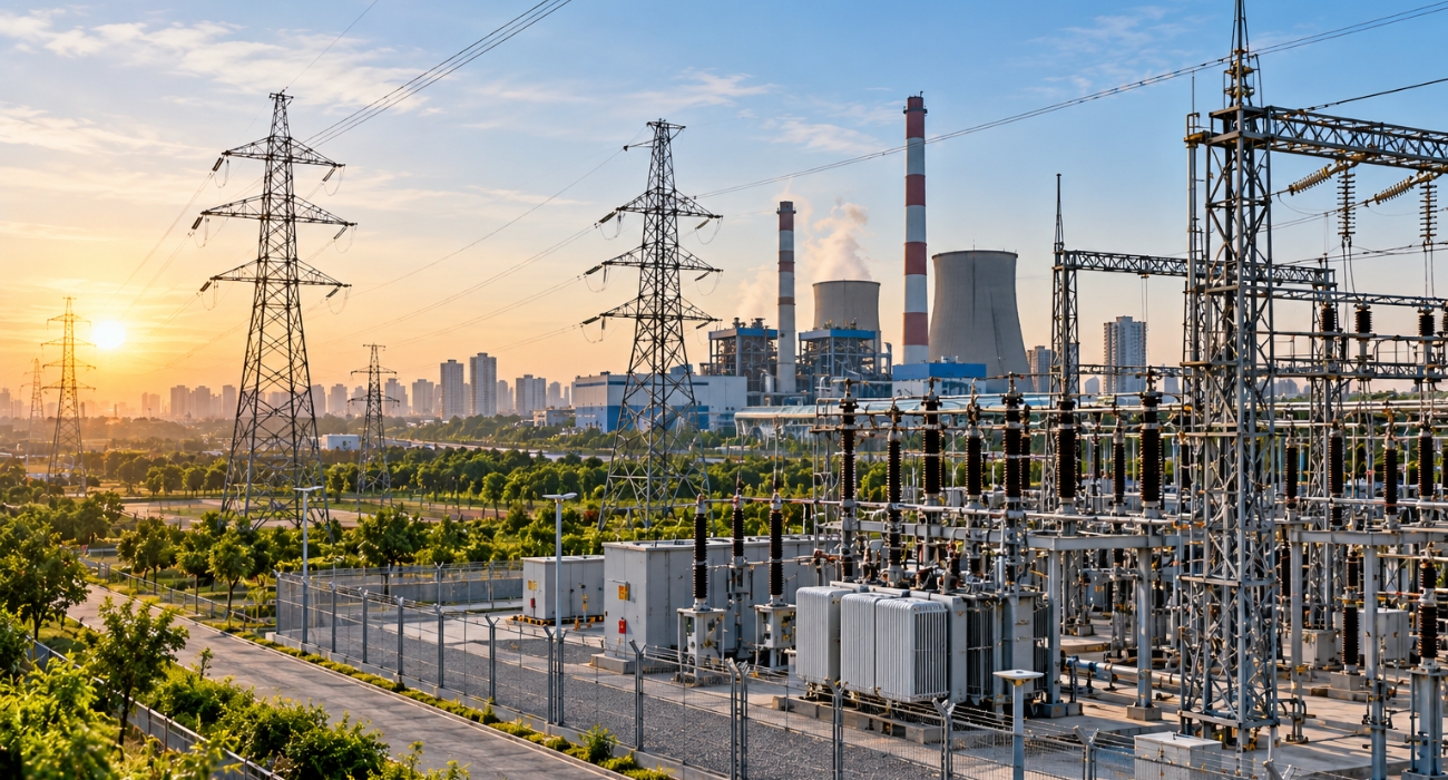
Digital Intelligence for Critical Infrastructure
Supporting energy and utility providers with accurate mapping, asset intelligence and digital engineering.
Key areas: Powerlines · Substations · Transmission & Distribution · Renewable Energy · Utility Mapping · LiDAR Classification · Asset Inventory
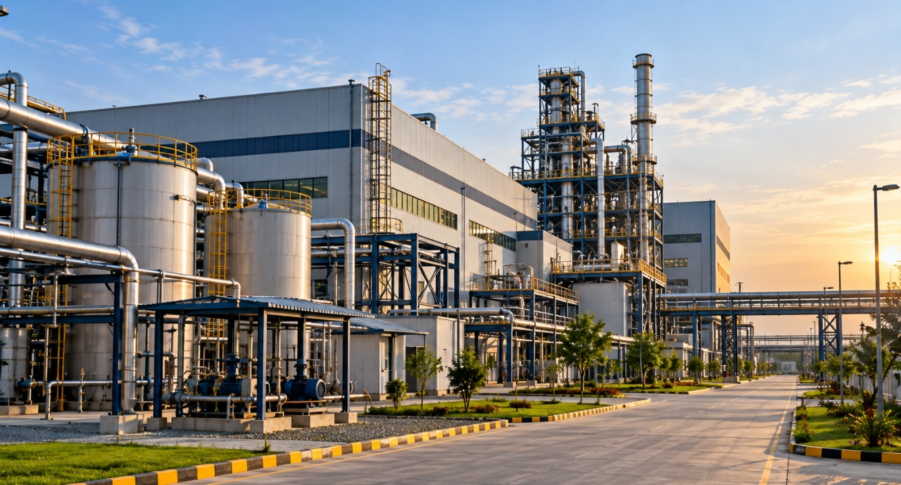
Engineering Intelligence for Complex Facilities
Creating accurate digital representations of plants, pipelines and industrial assets to support engineering and asset management.
Key areas: Plant Modelling · Scan-to-CAD · Scan-to-BIM · Piping · Equipment Modelling · Pipeline Mapping · Brownfield Engineering
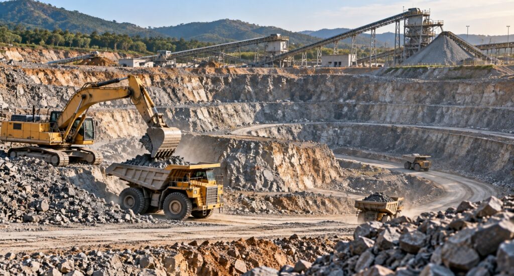
Geospatial Intelligence from Terrain to Resources
Turning LiDAR, imagery and survey data into precise information for mining, quarrying, forestry and natural-resource management.
Key areas: Mine Mapping · Quarry Mapping · Stockpile Volumes · LiDAR · Drone Mapping · DTM/DSM · Forestry · Land-Cover Mapping
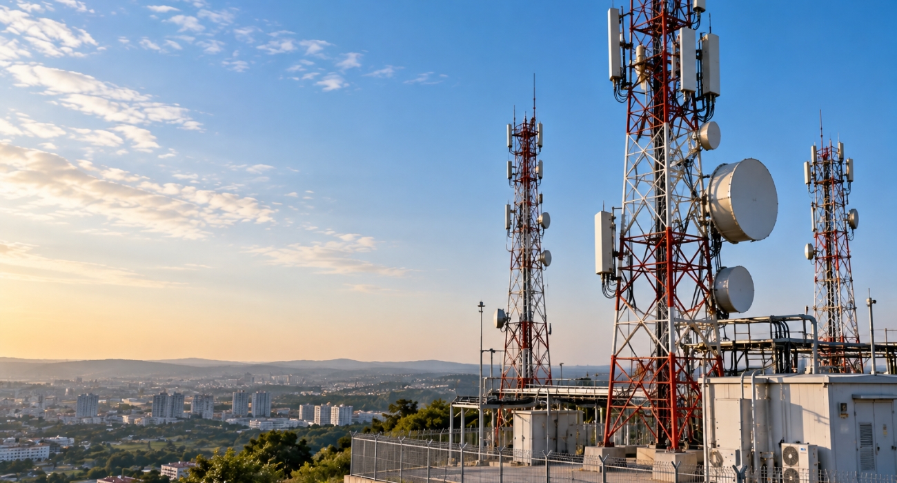
Mapping the Networks That Connect the World
Building accurate spatial databases and digital asset information for modern telecommunications infrastructure.
Key areas: Fibre Networks · FTTH · OSP Mapping · Telecom Towers · Pole Mapping · Network Inventory · GIS · Right-of-Way Mapping
Reality Capture for Complex Facilities
Helping industrial organizations convert existing facilities into accurate digital engineering environments.
Key areas: Industrial Scan-to-BIM · Plant Modelling · Scan-to-CAD · Equipment · Piping · Structural Modelling · MEP · Digital Twins
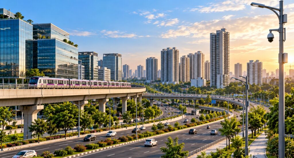
Smart Cities & Urban Development
Creating the geospatial foundation required to understand, manage and digitally represent modern cities.
Key areas: 3D City Modelling · Urban GIS · City-Scale LiDAR · Building Mapping · Infrastructure Mapping · Utility Mapping · Digital Twins
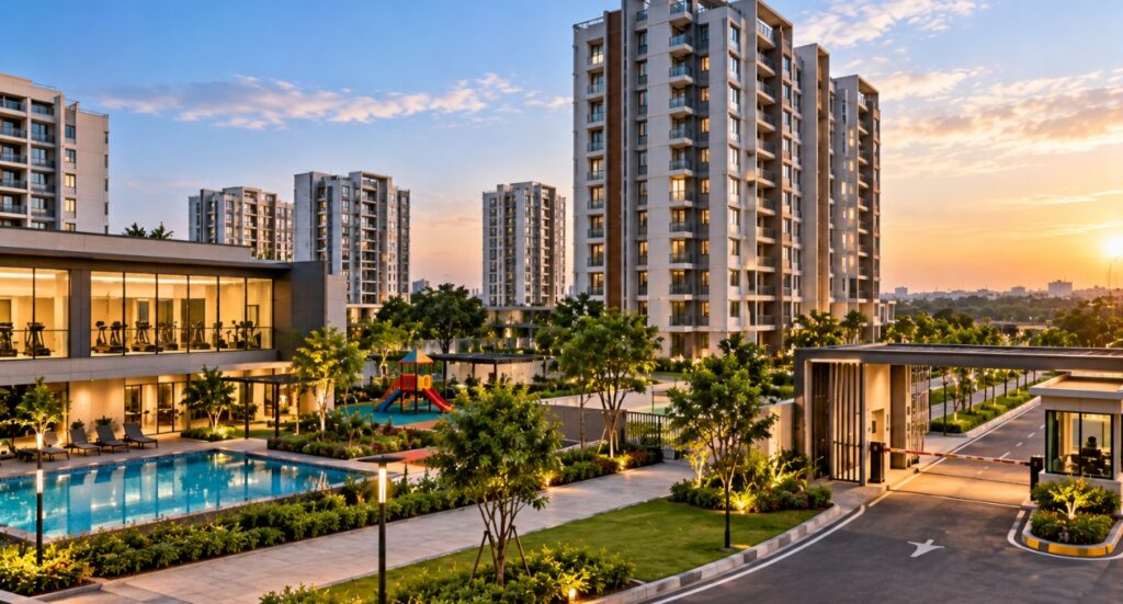
Turning Physical Spaces into Digital Assets
Helping property owners, developers and facility managers understand their buildings and assets through accurate digital information.
Key areas: Building Documentation · Scan-to-BIM · Revit · Floor Plans · MEP Documentation · Asset Inventory · Facility Mapping · Digital Twins